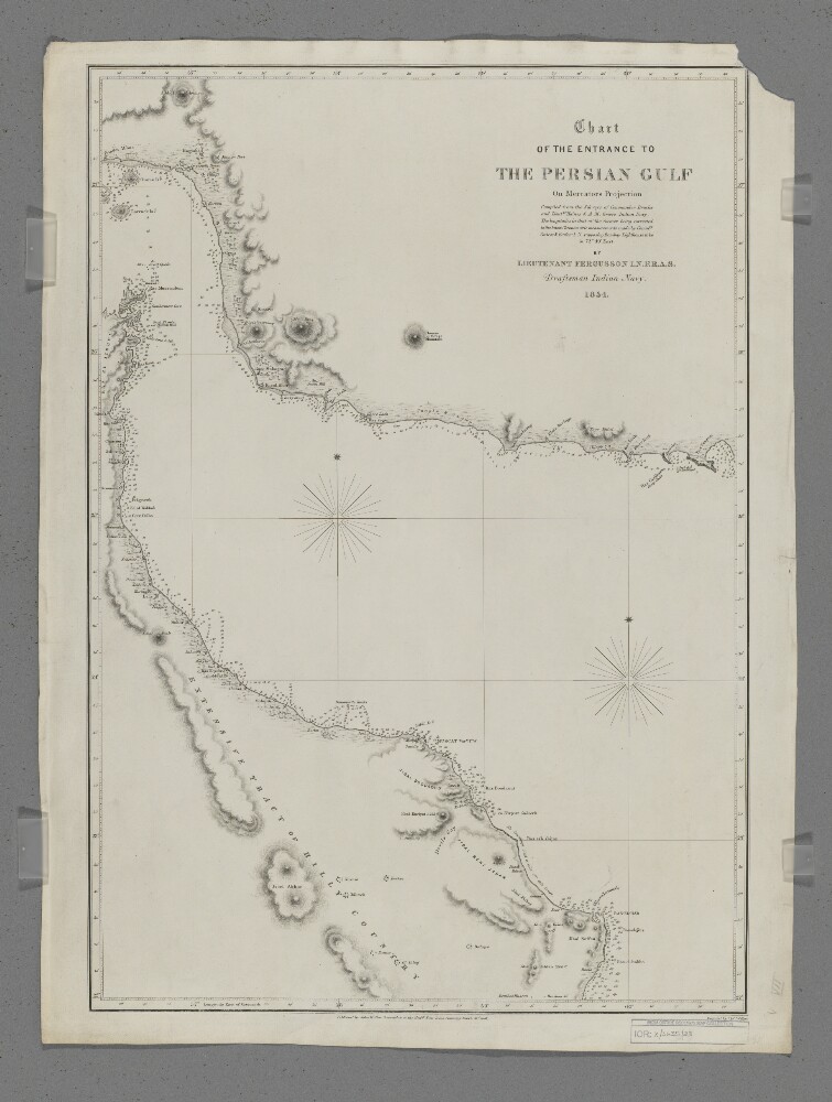
Abstract: Covers the eastern part of the Strait of Hormuz, the western part of the Gulf of Oman and the coastlines of southern Persia [Iran], northern Oman and the eastern side of the Musandam Peninsula, including a hinterland of approximately thirty miles. Portrays hydrology, including depths by soundings, sands and rocks, relief by hachures, rock drawing and occasional spot heights, vegetation, settlements, forts and place names, and includes topographical notes.Compiled by Lieutenant E F T Fergusson, Indian Navy from the surveys of Commander George Barnes Brucks and Lieutenants Stafford Bettesworth Haines and Albany Moore Grieve, Indian Navy, 1854. Engraved by J & C Walker. Published by John Walker, Geographer to the Honourable East India Company, 1857.Physical description: Materials: Printed on paperDimensions: 426 x 620mm, on sheet 678 x 508mm