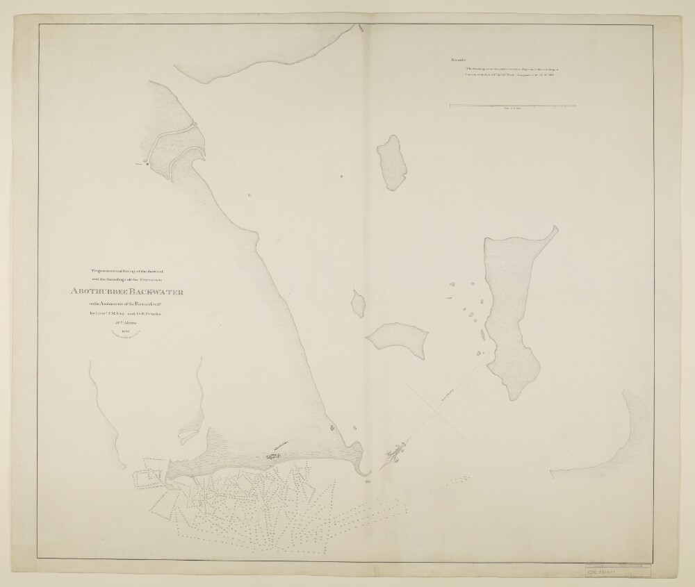
Abstract: Distinctive Features:Depths shown by soundings.Hand drawn nautical chart of the shores of the Persian Gulf compiled from the survey carried out by the Bombay Marine’s officers in 1823 showing Abothubbee [Abu Dhabi].Includes notes on water levels and soundings with latitude and longitude of the Fort reported.Oriented with south to the top.Physical description: Materials:Pen and ink on paperDimensions:643 x 741 mm, on sheet 675 x 802 mm