1. 'File 33/11 VII Naval Base at Jufair' Date: 1944/1944 Language: English Geographic region: JufairJazīreh-ye Hengām
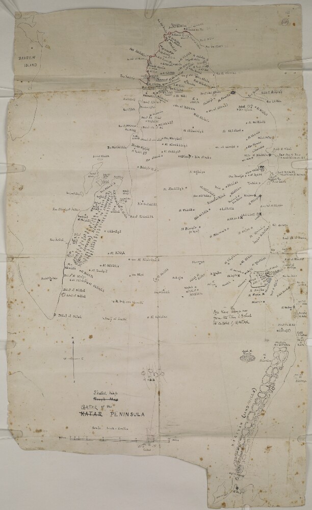
2. ‘Rough Map of the KATAR PENINSULA’ Date: 1936/1938 Language: English Geographic region: ZubarahQatar
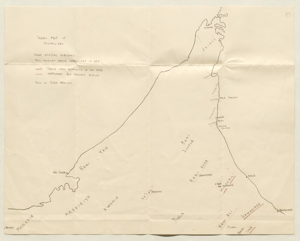
3. ‘TRIBAL MAP OF SHUMAILIYAH’ Date: 1927/1927 Language: English Geographic region: Trucial StatesBūshehrAbū-ShahrHormuz Isle
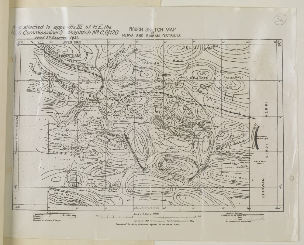
4. 'ROUGH SKETCH MAP OF NERVA AND RAIKAN DISTRICTS’ Date: 1921/1921 Language: English Geographic region: RaikanNērva
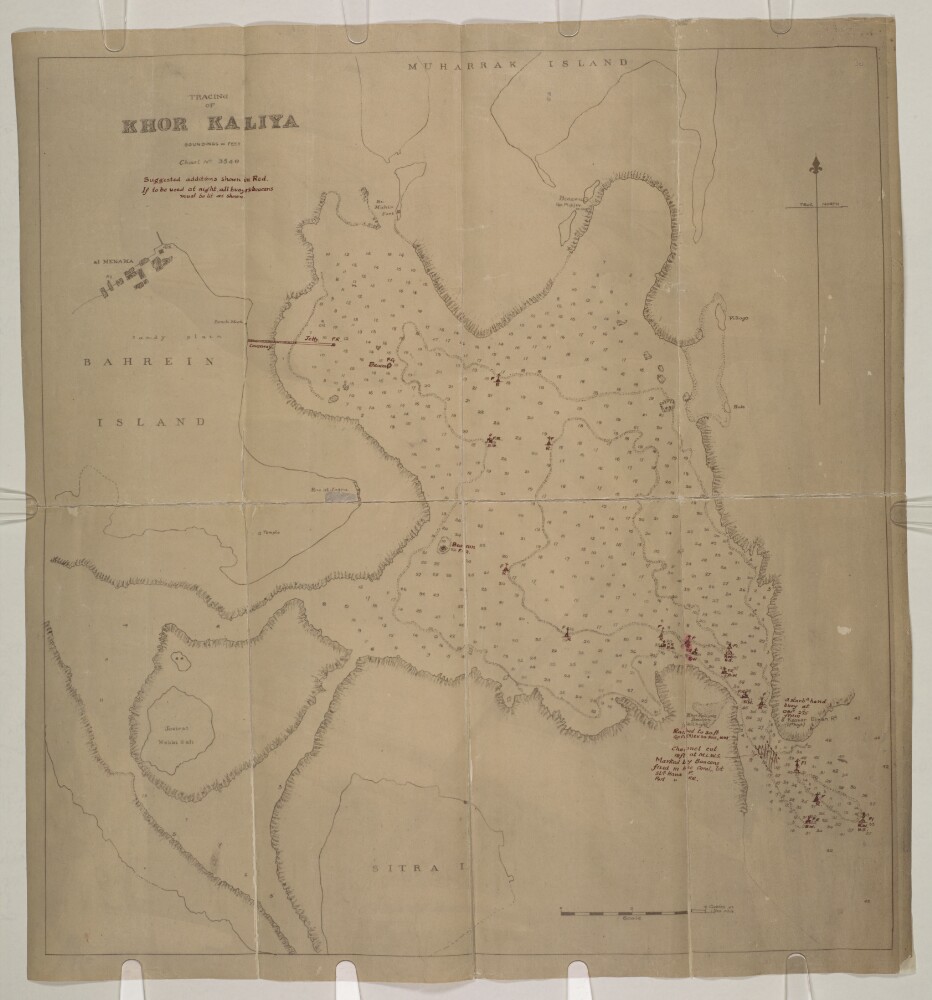
5. 'TRACING OF KHOR KALIYA. Chart No. 3540' Date: 1925/1935 Language: English Geographic region: BahrainBūshehrAbū-ShahrHormuz Isle
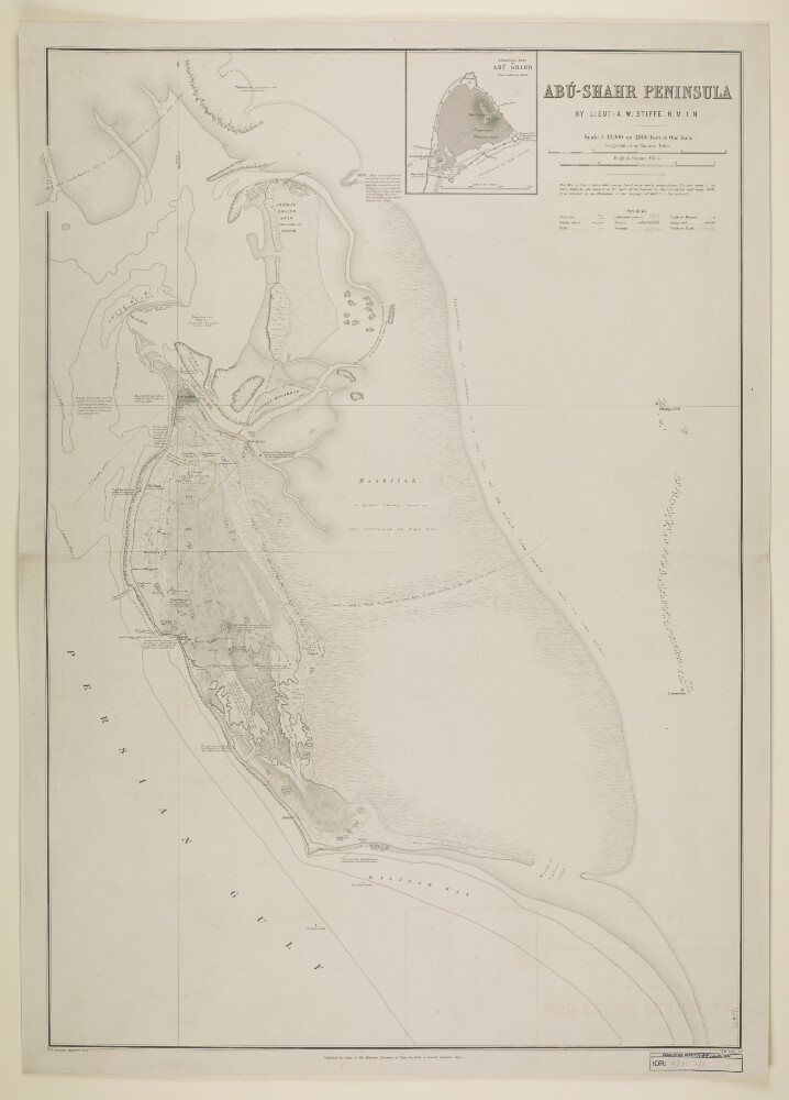
6. ‘Abū-Shahr Peninsula. By Lieut. A.W. Stiffe. H.M.I.N.’ Date: 1875/1875 Language: English Geographic region: Abū-Shahr
7. ‘File 5/6 I Brussels Conference and general rules and procedure on slave traffic’ Date: 1892/1925 Language: English Geographic region: BūshehrAbū-ShahrHormuz Isle
8. ‘File 5/65 I Question of disposal of emancipated slaves and proposal to check traffic between Muscat, Oman ports and Zanzibar’ Date: 1889/1905 Language: English Geographic region: BūshehrAbū-ShahrHormuz Isle
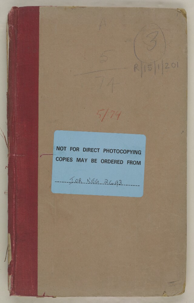
9. ‘File 5/74 Practice attributed to British authorities of surrendering fugitive slaves’ Date: 1897/1900 Language: English Geographic region: BūshehrAbū-ShahrHormuz Isle
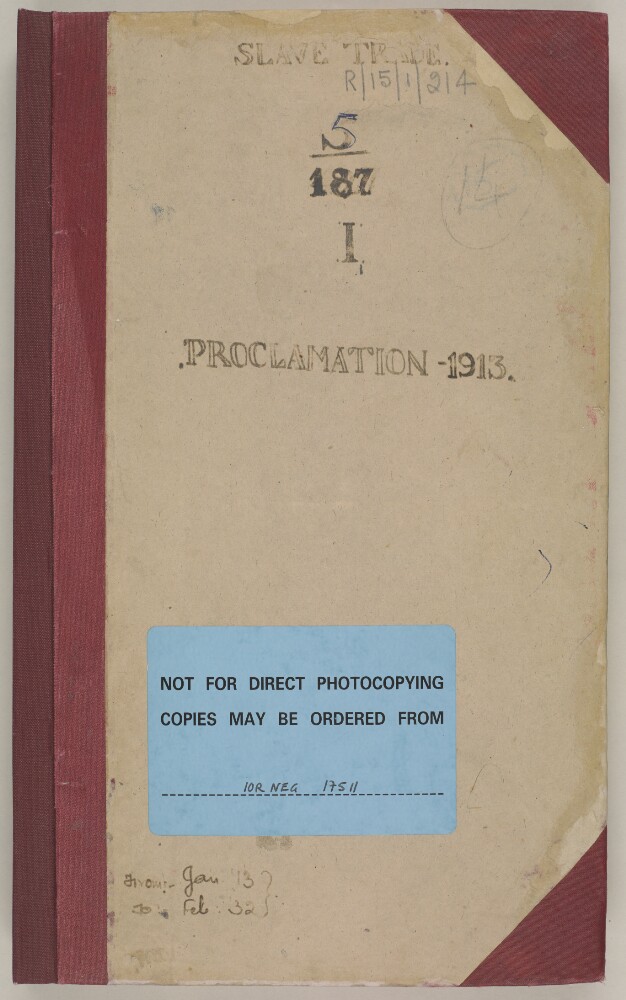
10. ‘File 5/187 I – Proclamation prohibiting slave trade’ Date: 1913/1938 Language: English Geographic region: BūshehrAbū-ShahrHormuz Isle
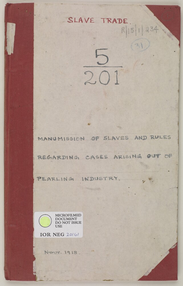
11. ‘File 5/201 Manumission of slaves and rules relating to cases arising out of the pearling industry’ Date: 1918/1918 Language: English Geographic region: BūshehrAbū-ShahrHormuz Isle
12. 'File 19/163 II (C 77) Nejd-Bahrain Relations' Date: 1932/1939 Language: English Geographic region: Kingdom of HejazHidjaz