Skip to search
Skip to main content
Skip to first result
Digital Library of the Middle East
Show facets
Hide facets
English
العربية
Contact us
Contact us
To contact us about any matter related to DLME, please use the form below.
Message
Your name
Ignore this text box. It is used to detect spammers. If you enter anything into this text box, your message will not be sent.
Your email
Cancel
Digital Library of the Middle East
Preserve. Access. Inspire.
Home
Explore
Contributors
About
Search in
Everything
Title
Creator / Contributor
Identifier
search for
Search
Home
Search results
Search
Search Constraints
Start Over
You searched for:
Spatial
عُمان
✖
Remove constraint Spatial: عُمان
« Previous
|
37
-
48
of
175
|
Next »
Sort
by Relevance
Relevance
Title
Creator
Date (old to new)
Date (new to old)
Number of results to display per page
12
per page
per page
12
per page
24
per page
48
per page
96
per page
View results as:
List
Gallery
Slideshow
Search Results
×
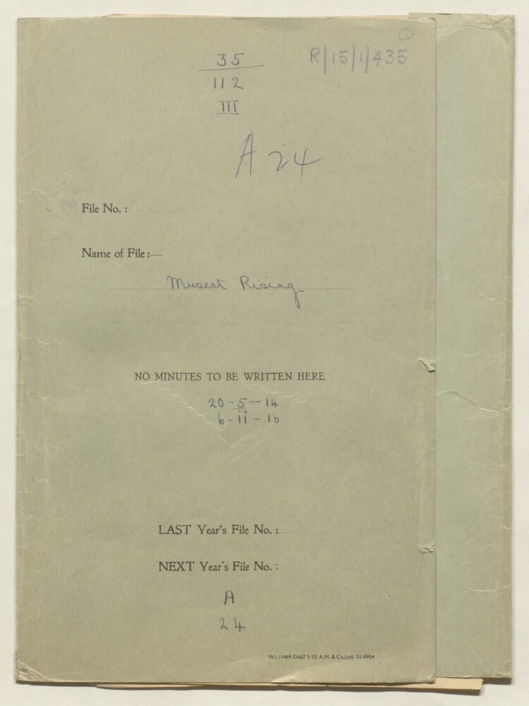
'Muscat Rising'
37 of 175
'Muscat Rising'
38 of 175
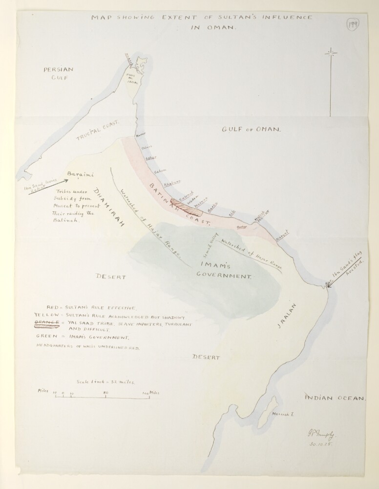
'Map showing extent of Sultan's influence in Oman'
39 of 175
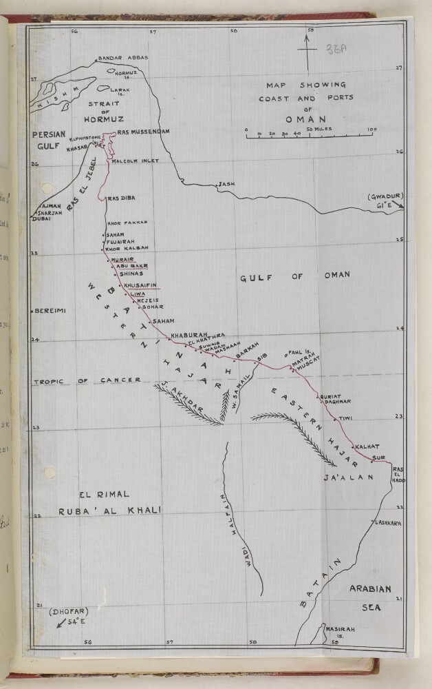
‘MAP SHOWING COAST AND PORTS OF OMAN’
40 of 175
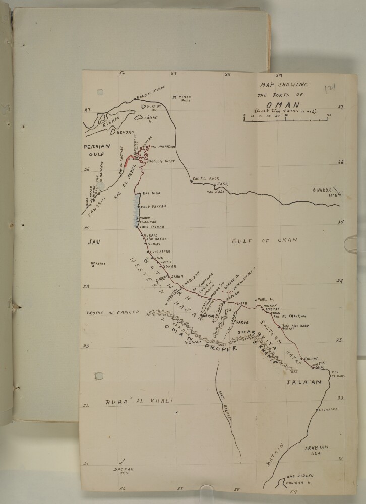
‘MAP SHOWING THE PORTS OF OMAN’
41 of 175
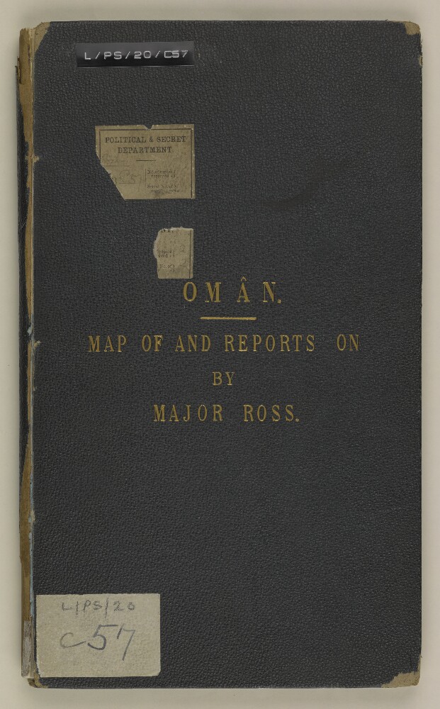
'Oman. Map of and Reports on by Major Ross'
42 of 175
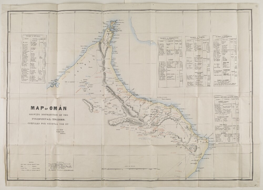
‘MAP OF OMÂN SHOWING DISTRIBUTION OF THE PRINCIPAL TRIBES. COMPILED FOR OFFICIAL USE BY Edward Charles ROSS, Political Agent, MUSCAT’
43 of 175
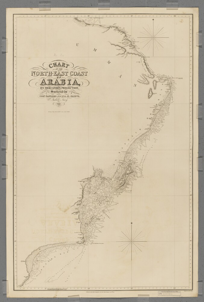
'Chart of the North-East Coast of Arabia'
44 of 175
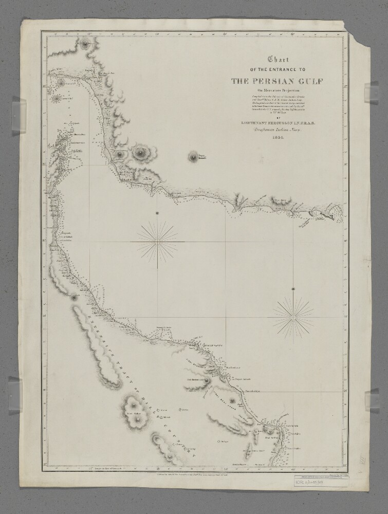
'Chart of the Entrance to the Persian Gulf'
45 of 175
‘REDUCTION TO SHOW RELATIONSHIP of the COMBINED PLANE TABLE AND PRISMATIC COMPASS SKETCH MAP OF THE COUNTRY BETWEEN JEBEL RŌDHAH, SOHAR AND IBRI, OMAN, ARABIA, WITH THE OMAN PENINSULA’
46 of 175
'Masira Channel'
47 of 175
'Gazetteer of the Persian Gulf. Vol. I. Geneaological Tables-Maps. Part III. J G Lorimer. 1915'
48 of 175
« Previous
Next »
1
2
3
4
Current Page, Page 4
5
6
7
8
…
14
15