1 - 5 of 5
Number of results to display per page
Search Results

1. 'MAP No. 1 ADMINISTRATIVE LAY-OUT IN PALESTINE OCTOBER 1936 PALESTINE Administration Map'
- Description:
- Abstract: The map accompanies Military Lessons of the Arab Rebellion in Palestine, 1936, and shows the northern portion of Palestine, indicating hospitals, field ambulances, power stations, stores, ordnance depots, workshops, boundaries, roads, cities, towns, Arab villages, Jewish settlements and landing grounds. Three inset maps show the cities of Haifa, Jerusalem and Jaffa & Tel Aviv at a scale of 1:40,000.A legend appears in the bottom margin, alongside schematic diagrams which show supply and evacuation arrangements for vehicles, ordnance and the sick.The map was reprinted by the Survey of Palestine in 1939.Physical description: Materials: Printed in colour on paperDimensions: 800 x 530mm, on sheet 1015 x 618mm
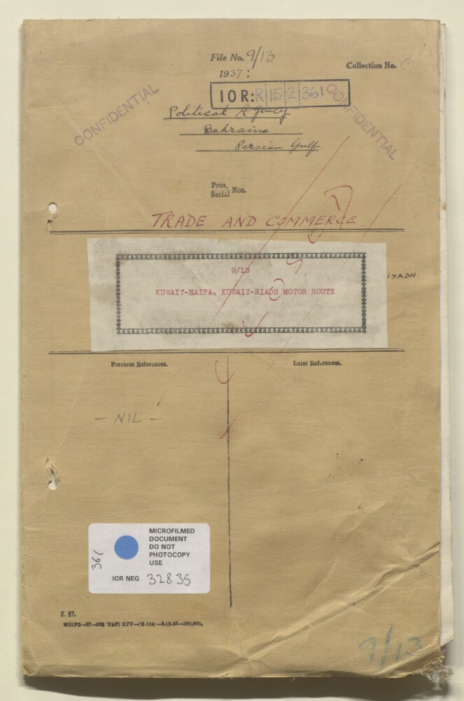
2. 'File 9/13 Kuwait/Haifa, Kuwait/Riyadh motor route'
- Description:
- Abstract: The file contains correspondence sent and received by the Political Agent at Bahrain concerning commercial motor routes between Kuwait/Haifa, Kuwait/Riyadh, proposed by the Kuwait Oil Company to link Kuwait, Saudi Arabia and Palestine as an alternative route to the main route via Baghdad.On folios 9-17 there are envelopes containing two copies of a 'Sketch map showing Motor Road from Kuwait to Riyadh', both of which consist of three sheets.Physical description: Foliation: the main foliation sequence (used for referencing) commences at the front cover with 1 and terminates at the back cover with 20; these numbers are written in pencil, are circled, and are located in the top right corner of the recto side of each folio. An additional foliation sequence is also present in parallel between ff 4-8; these numbers are also written in pencil, but are not circled, and are located in the same position as the main sequence.

3. 'Syria. Jaffa - Damascus'. With manuscript additions showing boundary information
- Description:
- Abstract: Covers the Syrian coastline extending fifty miles north and south of Haifa and 120 miles inland. [Includes parts of present-day Jordan and the geographical region of Palestine.] Printed map sheet portrays hydrology, relief by spot heights and shading, depths by soundings, railways, roads and tracks, telegraphs, settlements, place names, places of worship and water sources. Bears the imprints 'Geographical Section, General Staff, No. 2321' and 'War Office, July, 1915. Corrections, Dec. 1916'. The map also bears the blocked-out imprint 'For official use only' together with details of commercial sales agents. A copy of this map is also held at Maps 48495.(27.). A copy of the map with the 'For official use only' imprint left visible and omitting the details of commercial sales agents is held at Maps MOD GSGS 2321.Manuscript additions portray the northern boundary of Mandatory Palestine with accompanying explanatory note, and also highlight several settlements.Creation end date derived from establishment of Mandatory Palestine.Verso bears the stamp 'Eastern Department' and the manuscript annotation 'Syria (Jaffa, Damascus) (1/250 000)'.Physical description: Materials: Printed in colour, with manuscript additions in pencil and crayonDimensions: 681 x 946mm, on sheet 762 x 1025mm
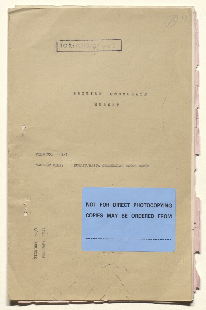
4. 'File 12/1 KUWAIT/HAIFA COMMERCIAL MOTOR ROUTE'
- Description:
- Abstract: The file consists of a single demi-official letter from Lieutenant-Colonel Sir Trenchard Craven William Fowle, the Political Resident in the Persian Gulf, to the India Office, dated 5 February 1937, discussing the possibility of a commercial motor route from Kuwait to Haifa.Physical description: Foliation: the main foliation sequence (used for referencing) commences at the front cover with 1, and terminates at the inside back cover with 7; these numbers are written in pencil, are circled, and are located in the top right corner of the recto side of each folio. An additional foliation sequence is present in parallel between ff 3-6; these numbers are also written in pencil, but are not circled.A previous foliation sequence, which is also circled, has been superseded and therefore crossed out.

5. Coll 17/21 ‘Iraq. Oil in – ’
- Description:
- Abstract: The file contains papers relating to the oil concessions and operations of the Iraq Petroleum Company and the British Oil Development Company in Iraq.It includes:Papers concerning payments due to the Government of Iraq from these companies.Papers of the Committee of Imperial Defence Standing Sub-Committee for Questions Concerning the Middle East, dated 1933, concerning the British Oil Development Company’s proposed pipeline from its concession near Mosul to the Mediterranean.Papers regarding the official opening of the Iraq Petroleum Company’s pipeline connecting the oil-field at Kirkuk with the Mediterranean port of Haifa, on 14 January 1935.The papers include India Office minute papers, correspondence, and three newspaper cuttings from The Times. The correspondence is largely between Sir Francis Henry Humphrys, HM Ambassador to Iraq (HM Representative, Baghdad), and Sir John Simon, Secretary of State for Foreign Affairs. Other correspondents include: the India Office; the High Commissioner of Iraq; the Colonial Office; Sir John Cadman, Chairman of the Board of Directors of the Iraq Petroleum Company; and the [British Government] Petroleum Department (Mines Department).The file includes a divider, which gives a list of correspondence references contained in the file by year. This is placed at the back of the correspondence.Physical description: Foliation: the foliation sequence (used for referencing) commences at the front cover with 1, and terminates at the inside back cover with 89; these numbers are written in pencil, are circled, and are located in the top right corner of the recto side of each folio. A previous foliation sequence, which is also circled, has been superseded and therefore crossed out.