1 entry found
Number of results to display per page
Search Results
1. 'PERSIAN GULF AND GULF OF OMAN. RESOURCES AND COAST DEFENCES.'
- Description:
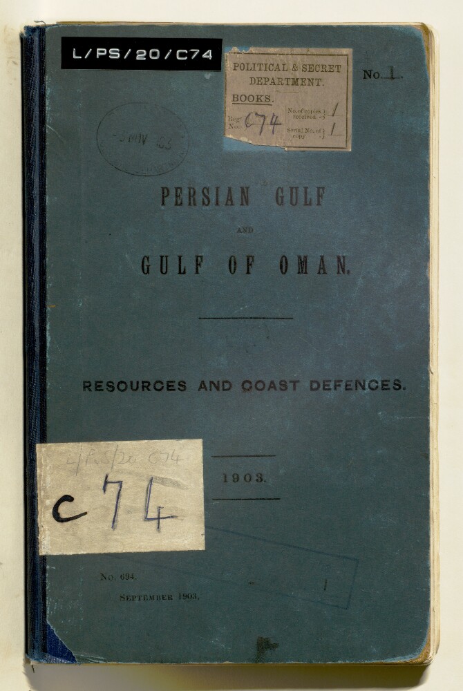
- Abstract: Printed report published by the Intelligence Department of the Admiralty, 1903. The report includes advice on collecting information on defences such as defended areas, minefields, ordnance, under-water defences. Much of the information was extracted from the Persian Gulf Report, 1898.There are details on Muscat; Mussandam Promontory; Khor Kawi [Khawr al Quway‘], Elphinstone Inlet [Khawr ash Shamm], Khasab; Pirate Coast; Bahrain; Kuwait; Fao [Al Fāw]; Basra; Bushire; Lingah; Bundar Abbas [Bandar Abbas].Also included is an 'Official statement of British Policy with regard to (1) the proposed Baghdad Railway; and (2) Persia and the Persian Gulf generally' given in the House of Lords, May 5, 1903.Maps include: rough sketch of operations in the vicinity and Bushire from the 3rd to the 10th February 1857 (Reproduced from Outram's Persian Campaign 1857); sketch of the attack on the batteries of Mohumra [Khorramshahr]: combined naval and military forces under command of Sir James Outram; sketch of the ground in the neighbourhood of Ahwaz [Ahvāz] on the Karun [Kārūn], showing the position occupied by the Persian Army, and the advance of the British detachment upon the town, March 1857. At the back of the report there is a large fold-out map: General Outline Map of the Persian Gulf showing Submarine Cables and the Principal Places mentioned in the Report.Physical description: Foliation: There is a foliation sequence, which is circled in pencil, in the top right corner of the recto of each folio. It begins on the front cover, on number 1, and ends on a map that is stored in a sleeve at the back of the volume, on number 57.