1 - 3 of 3
Number of results to display per page
Search Results
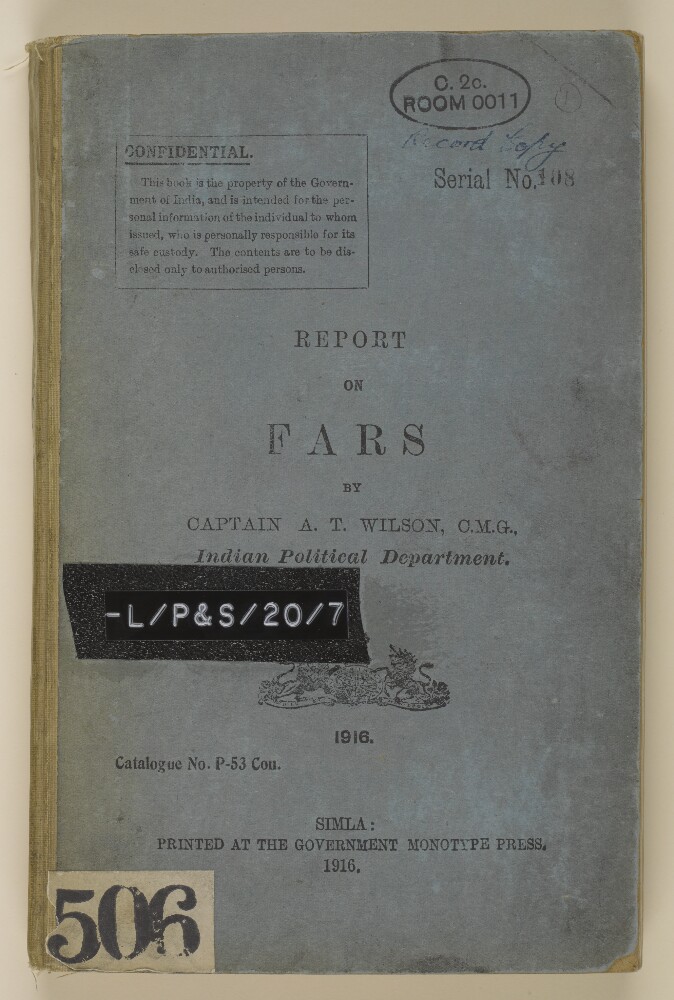
1. 'Report on Fars by Captain A T Wilson, Indian Political Department'
- Description:
- Abstract: This volume consists of a report on Fars (a province of Persia) was written by Captain Arnold Talbot Wilson, Deputy Civil Commissioner in the Indian Political Department (General Staff Branch), and was published in Simla at the Government Monotype Press. The volume is divided into subject sections.Within the report, there are genealogical trees for some tribes and families, including: the Kashkuli Khans (folio 41), the Qashqai Ilkhanis (folio 42) and the Hashimieh family of Shiraz (folio 51).Following the main report, there are two appendices: one relating to the approximate population of Fars and one relating to the mineral resources of Fars. The volume ends with an alphabetical index for the entire report and a map showing 'Routes in Persia'.Physical description: Foliation: the foliation sequence commences at the front cover with 1, and terminates at a map, at the inside back cover, with 196; these numbers are written in pencil, are circled, and are located in the top right corner of the recto side of each folio. Pagination: the volume also contains an original printed pagination sequence.
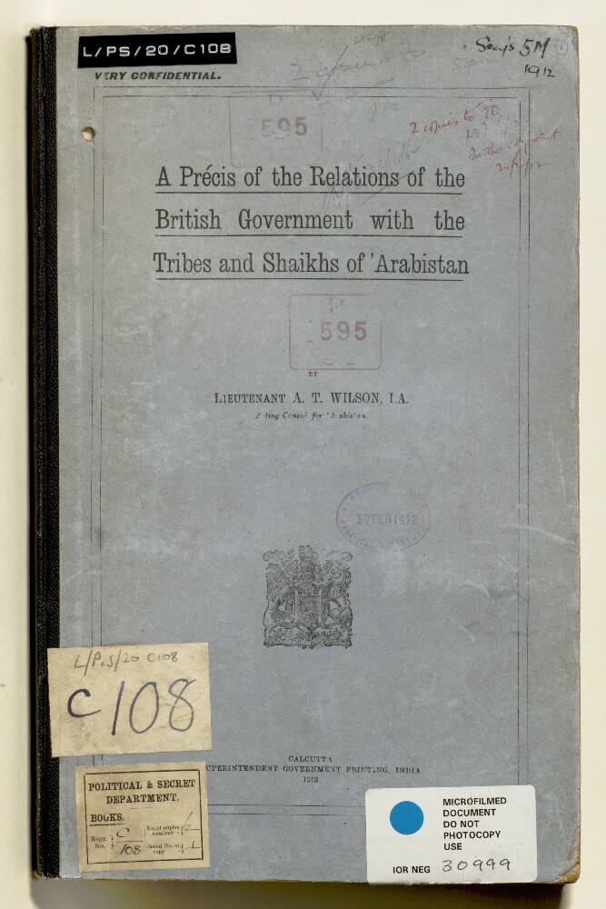
2. 'A Précis of the Relations of the British Government with the Tribes and Shaikhs of Arabistan'
- Description:
- Abstract: The volume is Lieutenant A T Wilson, IA, Acting Consul for Arabistan, A Précis of the Relations of the British Government with the Tribes and Shaikhs of Arabistan(Calcutta: Superintendent Government Printing, India, 1912).The volume is a compilation of historical, economic and political information about Arabistan [Khuzestan] and its relations with the British, by Lieutenant Arnold Talbot Wilson, Indian Army, Acting Consul for Arabistan.The contents of the volume are as follows:List of Officials in Arabistan;I British Interests in Arabistan, 1635-1800;II Arabistan - Internal Politics up to the death of Haji Jabir and genealogical table of Shaikhs of Mohammerah [Khorramshahr], 1527-1881;III Shaikh Miz'al's Rule, 1882-1897;IV Shaikh Khaz'al's Rule, 1897-1910;V Shaikh Khaz'al and the Persian Customs;VI Shaikh Khaz'al - Political Relations with British Government;VII Piracies;VIII Turko-Persian Frontier Question;IX Shaikh of Mohammerah and Turks;X Irrigation in Arabistan (I Karun; II Karkhah; III Dizful);XI Acquisition and Tenure of Land in Arabistan, with Annexes;Sixteen appendices, numbered I-XVI (supplemented with a later additional appendix, IXa) each containing a transcription (one in French, others translated into English from Persian) of relevant firmans, agreements, concessions, and other documents from the period 1844-1910.Physical description: Foliation: the foliation system commences at 1 on the front cover and terminates at 68 on the back cover. The numbers are written in pencil, are circled, and appear in the top right hand corner of the recto page of each folio. This is the system that has been used to determine the order of pages.Pagination: the volume also contains an original printed pagination sequence, numbered 2-115 (ff 8-66).
3. File 3154/1912 Pt 1-2 ‘Turco-Persian frontier: the position of Hawizeh; miscellaneous prints’
- Description:
- Abstract: The volume contains parts 1 and 2 of the subject 'Turco-Persian Frontier'. Part 1 (IOR/L/10/PS/291/1 contains correspondence, reports and maps relating to surveys of the Turco-Persian frontier between Hawizeh [Hoveyzeh] and the Shatt-al-Arab, undertaken in May 1912 by the Political Resident in the Persian Gulf, Lieutenant-Colonel Percy Zachariah Cox, and again in June and July 1912 by Lieutenant Arnold Talbot Wilson and Lieutenant Henry Aloysius Bruno Digby-Beste.The surveys were carried out in order to fix the precise locations of the village of Hawizeh and the Turco-Persian border at Mohammerah [Khorramshahr]. The reports submitted by Cox and Wilson set out the topography of the region, its canals and rivers, populations, jurisdiction, tribal affiliations and tribal rulers. Digby-Beste’s report (ff 16-18) details the survey measurements taken between 15 June and 2 July 1912, with calculations of longitude and latitude measurements for Hawizeh.Part 2 (IOR/L/PS/10/291/2 contains copies of correspondence, memoranda, maps and other papers, relating to diplomatic negotiations taking place between the Turkish and Persian Governments, marshalled by the British and Russian Governments, over the fixing of the boundary line between Persia and Turkish Mesopotamia at Mohammerah [Khorramshahr], Hawizeh [Hoveyzeh] and Zohab.Physical description: Foliation: the main foliation sequence (used for referencing) commences at the front cover with 1, and terminates at the inside back cover with 324; these numbers are written in pencil, are circled, and are located in the top right corner of the recto side of each folio.A previous foliation sequence, which is also circled, has been superseded and therefore crossed out.