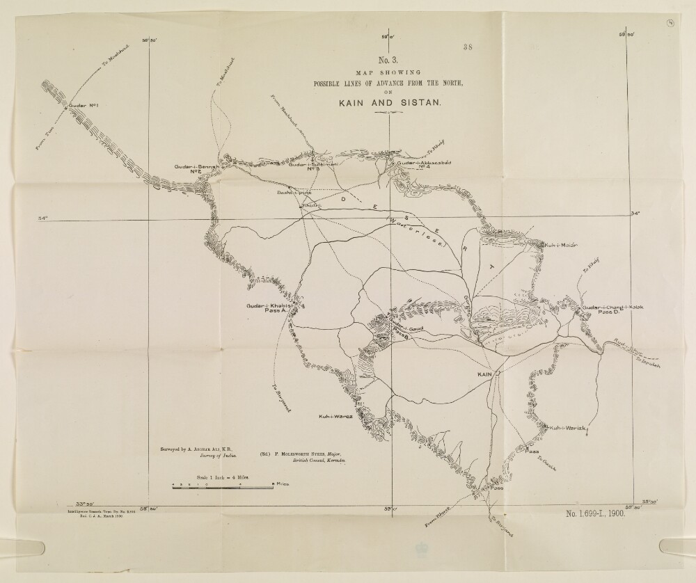
Abstract: Map showing the possible lines of advance on the towns of Kain [Qā’en] and Sīstān in Persia [Iran], as surveyed by A Ashgar Ali of the Survey of India, and signed by Major Percy Molesworth Sykes, British Consul at Kerman. The map indicates: routes; terrain; mountain passes and gorges; the town of Kain. A note on the map states: ‘Exd. C.J.A. April 1900’.Physical description: Dimensions: 426 x 508 mm.Materials: Printed on paper.