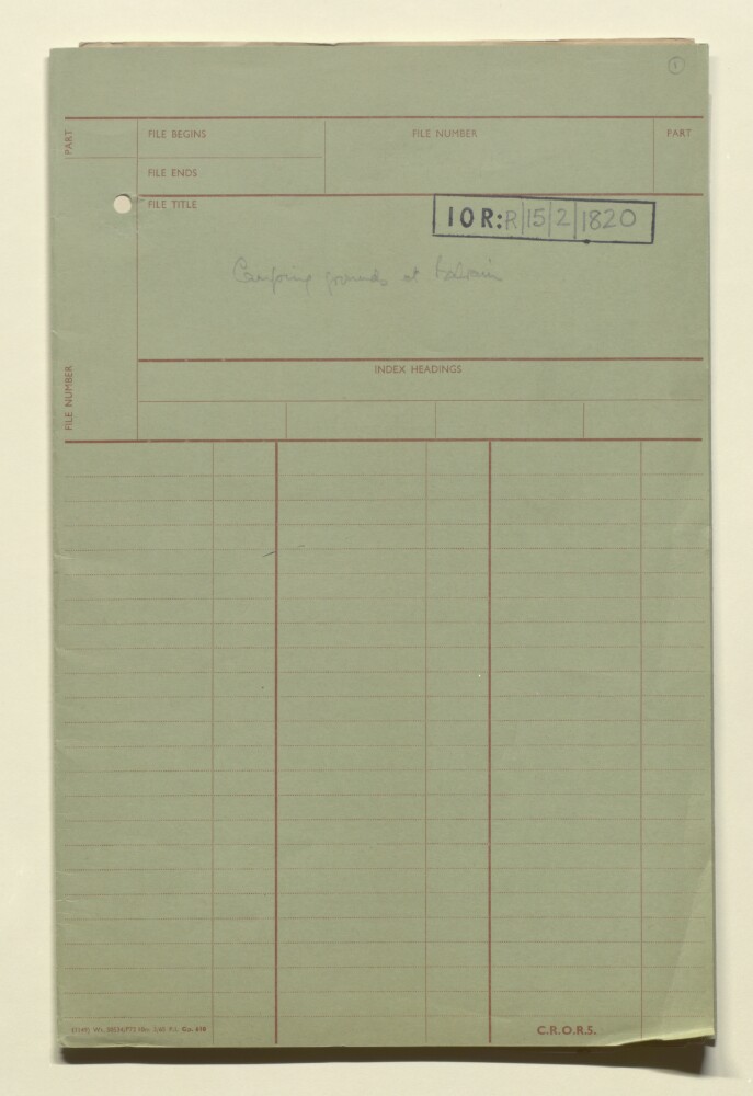
Abstract: The file comprises maps and notes prepared in anticipation of the stopping off at Bahrain of Indian Army regiments that were part of Indian Expeditionary Force D, which travelled from Bombay to Basra in October 1914, and went on to fight in the Mesopotamian campaign of the First World War. The regiments stopped at Bahrain between 23 and 30 October 1914. However, in spite of the preparations made, no troops or livestock left the Expeditionary Force ships which moored off the Bahrain coast.The file contains:three hand drawn maps (one original and two tracings) showing the proposed sites for camps, and planned routes for infantry and animals from the selected disembarkation points in Manama, to the camps (ff 4-5, ff 6-8, ff 9-11);a carbon-copied sketch map of a camp, located one mile south of Manama, with allocated plots within the camp for different regiments, many of which were part of the 6th (Poona) Division (f 3);a general note entitled ‘camping grounds in Bahrain Island’ (f 2);disembarkation notes, identifying the customs jetty, Political Agency jetty, and the Gray Paul & Company jetty, as the three points where disembarkation could take place (ff 12-13);a note on the availability of drinking water in Bahrain, including surface wells, deep wells, sea springs and island springs (ff 14-15);further notes on the two possible camping grounds identified (ff 16-18);a note on supplies, with brief details of fuel and fodder (f 19);notes for the ADMS [Assistant Director of Medical Services] on the climate and sanitary situation at Bahrain (f 20);duties of various people who would be involved in the disembarkation and supply of provisions (f 21).Physical description: Foliation: the foliation sequence commences at the front cover with 1 and terminates at the inside back cover with 22; these numbers are written in pencil, are circled, and are located in the top right corner of the recto side of each folio.
Abstract: The lands of the Eastern Caliphate Mesopotamia, Persia, and Central Asia from the Moslem conquest to the time of TimurPublication Details: Cambridge : University Press, 1905.Notes: Cambridge Geographical Series.Physical Description: xvii, 536 p., 10 maps (folded).Physical description: Dimensions: 195mm x 135mm
Abstract: This map shows the territory of Kuwait and associated routes topographic heights in feet. The map also shows the location of the Kuwait Oil Company's base of operations, indicated as 'Camp' in the map legend.Physical description: Materials: Bromide on Manuscript with coloured ink.Dimensions: 313 x 353mm
Abstract: Imprint:Published under the direction of Major-General H.L. Thuillier, C.S.I.-F.R.S., Surveyor General of India, Surveyor General’s Office, Calcutta. December 1877. Photozincographed under the Superintendence of Capt.n. J. Waterhouse.Edition statement:‘Compiled from the most authentic materials available in the Office of the Surveyor General of India, Calcuta, May 1876. With Corrections to November 1877’.Distinctive Features:Relief shown by shading. Boundaries coloured for reference with a key at the bottom left. Routes of various expeditions shown with names of explorers and dates of their journeys given. Notations on topographic features inserted on the map. Shows Telegraph Cable laid in 1864, Indus Valley State Railway, and Sind Punjab and Delhi Railway lines. Includes ‘List of Authorities Consulted in the Compilation of this map’.Inscriptions:In the lower centre above imprint, black faded ink: ‘A.A. 28-10’.Physical description: Dimensions:779 x 1050 mm, on sheet 860 x 1108 mm
Abstract: Genre/Subject Matter:Black and white photograph showing a gravel plain the foreground, and hills in the background.Inscriptions:Upper right, above image, in pen: ‘No 2.’Left, alongside image, in pen: ‘Lofty drifts of loose sand’ and ‘Gravel plain with sand’Right, alongside image, in pen: ‘Hills partially covered by sand drifts’Centre, below image, in pen: ‘Rocky ground. View to N. of Manzil’.Physical description: Dimensions: 105 x 149mm
Abstract: Title translation: 'Armenia. Prepared by Lieutenant Commander Z[adig]. Khanzadian'.The map also bears a secondary title 'Délégation Nationale Arménienne Carte No. 1.' [Armenian National Delegation Map No. 1.]Map prepared for the Peace Conference of Versailles, depicting post First World War boundaries of Armenia as proposed by the Armenian National Delegation and extending westwards to Cilicia. Portrays hydrology, relief by spot heights and gradient tints, geological trend lines, volcanoes, roads, railways, settlements, place names, and international and internal boundaries.The map bears the imprint 'Imp[rimant]. A. Gentil. 188 Faubourg St. Denis. Paris.'Date taken from references in Related Materials and the online catalogue record of Bibliotèque nationale de France.Physical description: Materials: Printed in colourDimensions: 222 x 430mm, on sheet 258 x 442mm
Abstract: This genealogical table of the Subhān [Subḥān] family appears in a section titled 'Recent History and Present Politics' of Jebel Shammar [Jabal Shammar] of Chapter 11 in volume one of
A Handbook of Arabia(Admiralty War Office, Intelligence Department: May 1916). The table includes 26 named and unamed individuals, including females. The names of individuals is printed in bold type.Physical description: 1 genealogical table
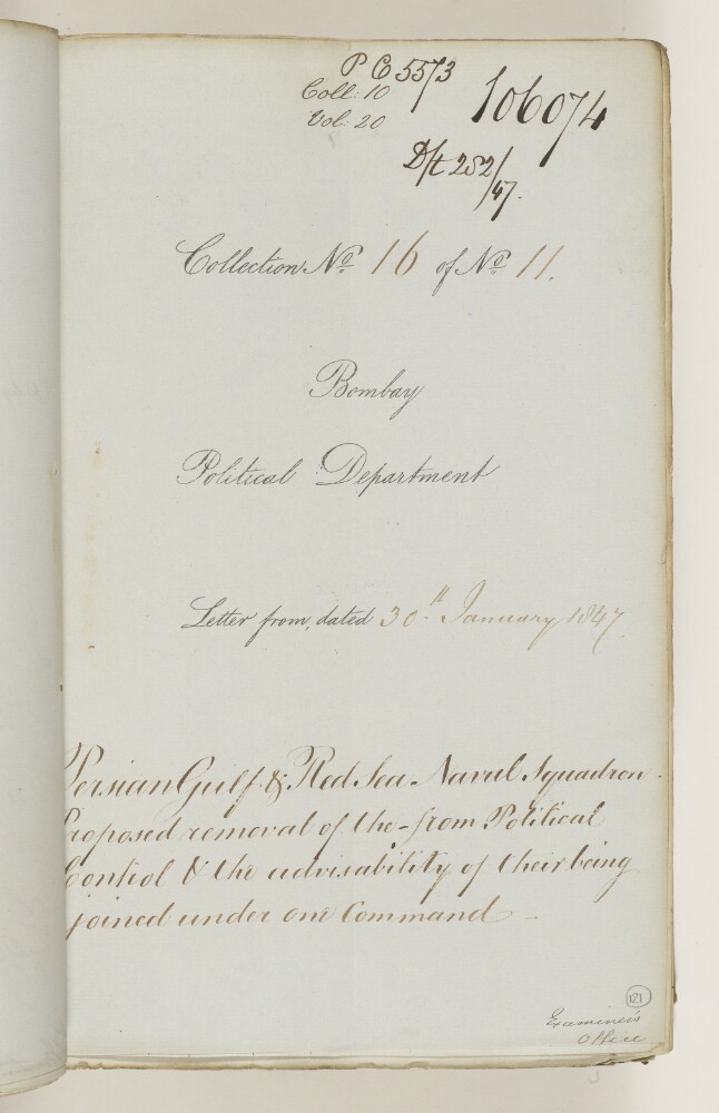
Abstract: This item consists of copies of correspondence and minutes cited in, or enclosed with, political letters from the Government of Bombay [Mumbai]. The correspondents are the Government of Bombay and the Court of Directors of the East India Company. It is the twentieth in a series of twenty items on the Persian Gulf (the others are IOR/F/4/2180/106055, IOR/F/4/2180/106056, IOR/F/4/2180/106057, IOR/F/4/2180/106058, IOR/F/4/2180/106059, IOR/F/4/2180/106060, IOR/F/4/2181/106061, IOR/F/4/2181/106062, IOR/F/4/2181/106063, IOR/F/4/2181/106064, IOR/F/4/2181/106065, IOR/F/4/2181/106066, IOR/F/4/2181/106067, IOR/F/4/2181/106068, IOR/F/4/2181/106069, IOR/F/4/2181/106070, IOR/F/4/2181/106071, IOR/F/4/2181/106072, and IOR/F/4/2181/106073).The item concerns the Court of Directors’ refusal of a proposal to unite the Red Sea and Persian Gulf squadrons of the Indian Navy, and remove them from control of the Political Resident in the Persian Gulf and the Political Agent at Aden.The item contains a contents page, and the title page of the item contains the following references: ‘Draft 282/47, P.C. [Previous Communication] 5573, Coll[ection]: 10, Collection No 16 of No 11’.Physical description: Foliation: the foliation sequence (used for referencing) commences at the first folio with f 121, and terminates at f 124, as it is part of a larger physical volume; these numbers are written in pencil, are circled, and are located in the bottom right corner of the recto side of each folio.Pagination: the volume also contains an original pagination sequence.
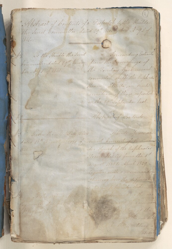
Abstract: Enclosure nos. 2-14 to a despatch from the Secret Department, Government of Bombay [Mumbai], dated 29 November 1841. The enclosures are dated 13 August-29 November 1841. The enclosures consist of copies of correspondence relating to continuing surveys by steam boat of the River Euphrates to determine its navigability, particularly their financing and accounts. The correspondents are Lieutenant Henry Blosse Lynch, Commander of the Surveys, and the Government of India.Physical description: 1 item (24 folios)
Abstract: Enclosure nos. 2-10 to a despatch from the Secret Department, Government of Bombay [Mumbai], dated 30 December 1841. The enclosures are dated 25 March-30 December 1841. The enclosures consist of copies of correspondence relating to continuing surveys by steam boat of the River Euphrates to determine its navigability, particularly their financing and accounts, and the state of repair of the steam vessels
Euphratesand
Nimrod. The correspondents are: Lieutenant Charles Dugald Campbell, commanding the surveys during the absence of Lieutenant Henry Blosse Lynch; the Superintendent of the Indian Navy; and the Government of India.Physical description: 1 item (24 folios)
Abstract: The travels of Sir John Chardin into Persia and the East Indies, through the Black Sea, and the country of Colchis. Containing the author's voyage from Paris to Ispahan. To which is added, the coronation of this present king of Persia, Solyman the III.Publication details: London: printed for Christopher Bateman, 1691.Holding notes: Imperfect, only 16 plates present.Physical description: Dimensions: 304mm x 197mm.Condition: [14], 417, [7[, [2], 154, [6]p, 25 leaves of plates, iii, map, portrait; 31cm. 2°.Pagination: p265 to p330 have been omitted; the pages between p398 and p403 have been numbered as follows: p402, p400, p401, p399.