Skip to search
Skip to main content
Skip to first result
Digital Library of the Middle East
Show facets
Hide facets
English
العربية
Contact us
Contact us
To contact us about any matter related to DLME, please use the form below.
Message
Your name
Ignore this text box. It is used to detect spammers. If you enter anything into this text box, your message will not be sent.
Your email
Cancel
Digital Library of the Middle East
Preserve. Access. Inspire.
Home
Explore
Contributors
About
Search in
Everything
Title
Creator / Contributor
Identifier
search for
Search
Home
Search results
Search
Search Constraints
Start Over
You searched for:
Spatial
أم قصر
✖
Remove constraint Spatial: أم قصر
1
-
9
of
9
Sort
by Relevance
Relevance
Title
Creator
Date (old to new)
Date (new to old)
Number of results to display per page
12
per page
per page
12
per page
24
per page
48
per page
96
per page
View results as:
List
Gallery
Slideshow
Search Results
×
'XXII/17 Boundary between Koweit & Katif Territory'
1 of 9
'File 4/22 I Construction of a Port in Kuwait Bay under Iraqi Control; Extension of the Iraqi Railway; Umm Qasr'
2 of 9
'Plan for operations in Turkish Mesopotamia'
3 of 9
'File 4/22 II Umm Qasr'
4 of 9
'File 4/22 III Umm Qasr'
5 of 9
Sketch map of Umm Qasr
6 of 9
Coll 17/30(1) ‘Iraq. Proposed additional outlet to the sea, in or near Koweit territory. Development of port at Um Qasr.’
7 of 9
Coll 17/30(2) 'Proposed additional outlet to the sea in or near Kuwait territory. Development of port at Um Qasr.'
8 of 9
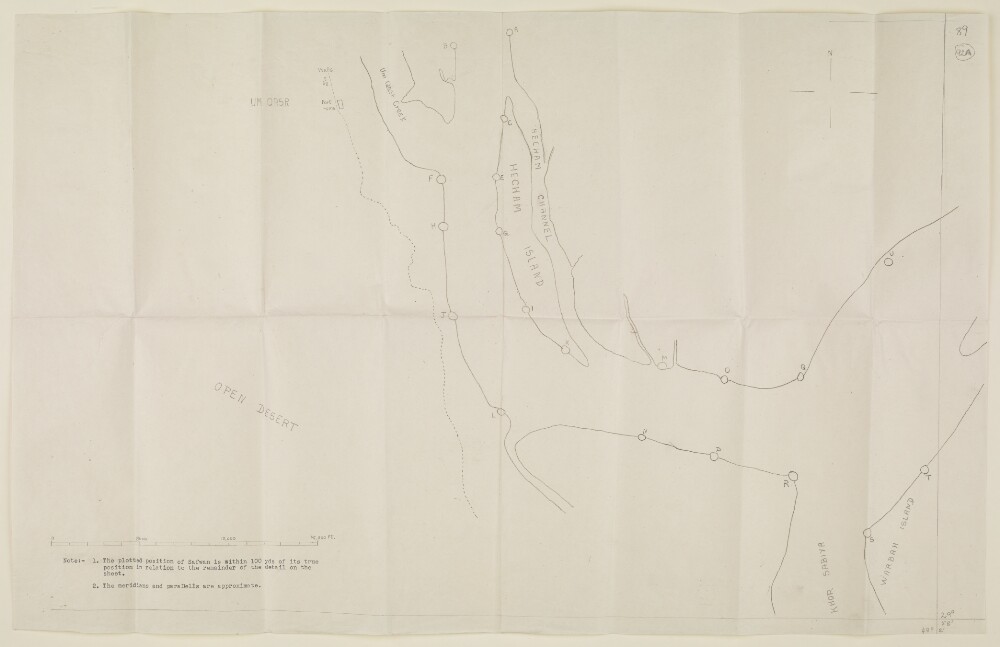
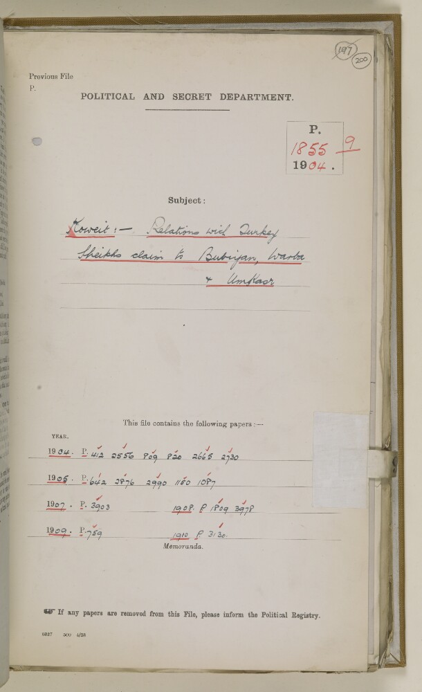
File 1855/1904 Pt 9 'Koweit:- Relations with Turkey. Sheikhs claim to Bubiyan, Warba & Umkasr'
9 of 9