Skip to search
Skip to main content
Skip to first result
Digital Library of the Middle East
Show facets
Hide facets
English
العربية
Contact us
Contact us
To contact us about any matter related to DLME, please use the form below.
Message
Your name
Ignore this text box. It is used to detect spammers. If you enter anything into this text box, your message will not be sent.
Your email
Cancel
Digital Library of the Middle East
Preserve. Access. Inspire.
Home
Explore
Contributors
About
Search in
Everything
Title
Creator / Contributor
Identifier
search for
Search
Home
Search results
Search
Search Constraints
Start Over
You searched for:
Spatial
الشرق الأوسط
✖
Remove constraint Spatial: الشرق الأوسط
« Previous
|
13
-
24
of
47
|
Next »
Sort
by Relevance
Relevance
Title
Creator
Date (old to new)
Date (new to old)
Number of results to display per page
12
per page
per page
12
per page
24
per page
48
per page
96
per page
View results as:
List
Gallery
Slideshow
Search Results
×
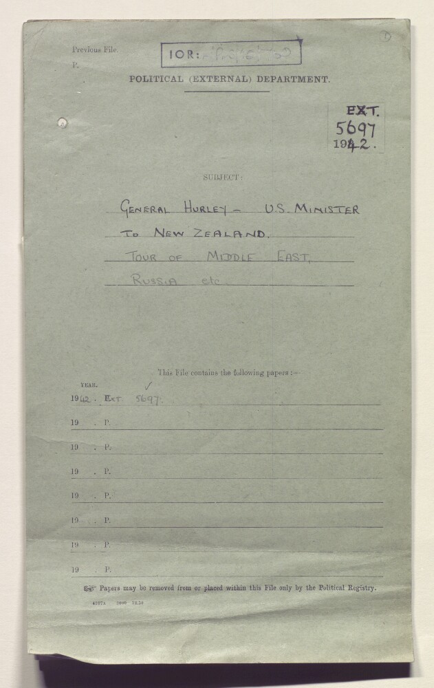
'Ext 5697/42 General Hurley, USA Minister to New Zealand: tour of Middle East, Russia, etc'
13 of 47
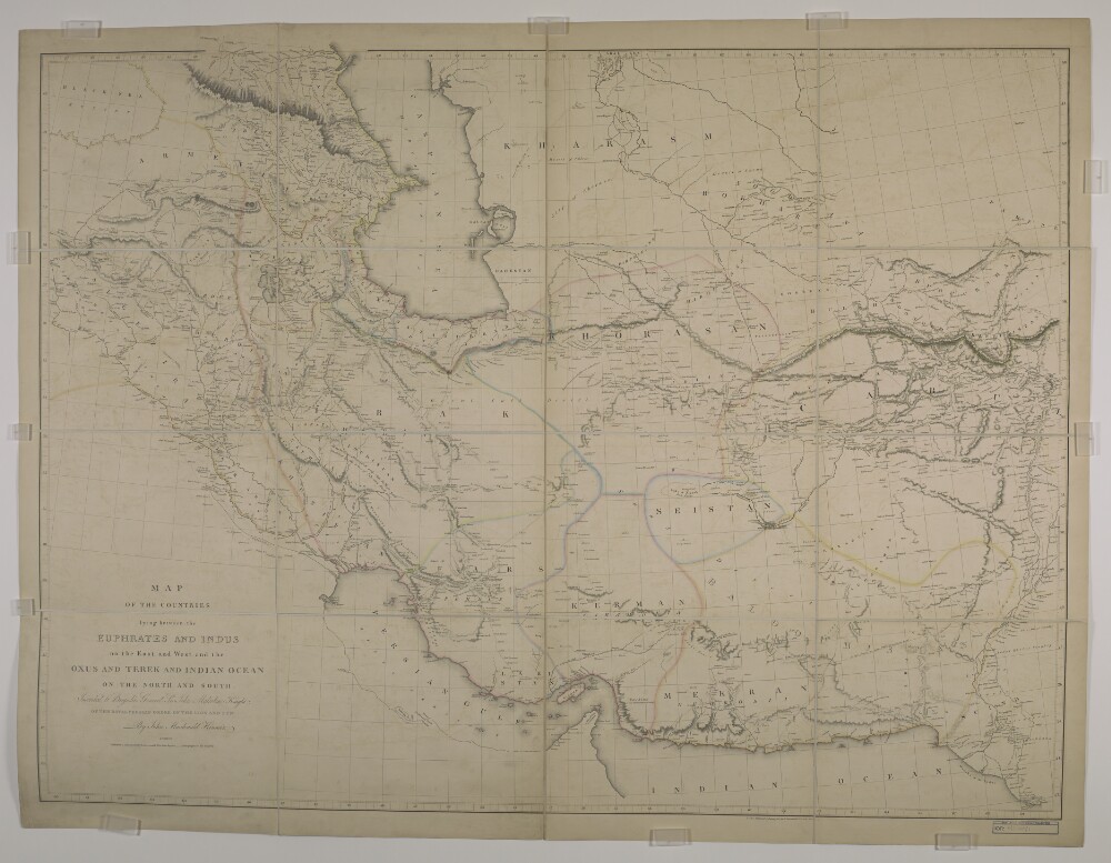
‘Map of the Countries lying between the Euphrates and Indus on the East and West, and the Oxus and Terek and Indian Ocean on the North and South. By John Macdonald Kinneir’
14 of 47
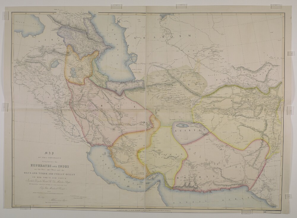
‘Map of the Countries lying between the Euphrates and Indus on the East and West, and the Oxus and Terek and Indian Ocean on the North and South. By John Macdonald Kinneir’
15 of 47
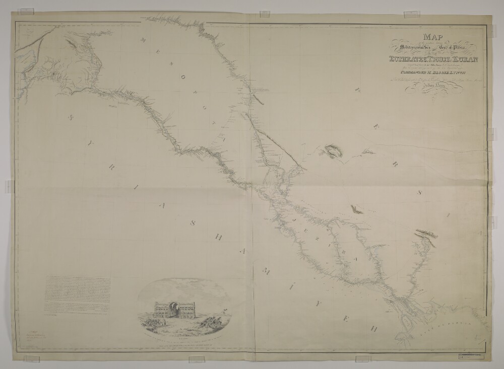
‘Map of the countries between the Mediterranean Sea and the Gulf of Persia on the line of the Euphrates, Tigris, Kuran. Compiled and drawn by Lieut. Felix Jones J.N. Assist. Surveyor, from the original Surveys made by the late expedition under Commander H. Blosse Lynch assisted by Leutts. Chris D. Campbell M.W. Lynch, Felix Johnes, William B. Selby & Henry Grounds of the Indian Navy’
16 of 47
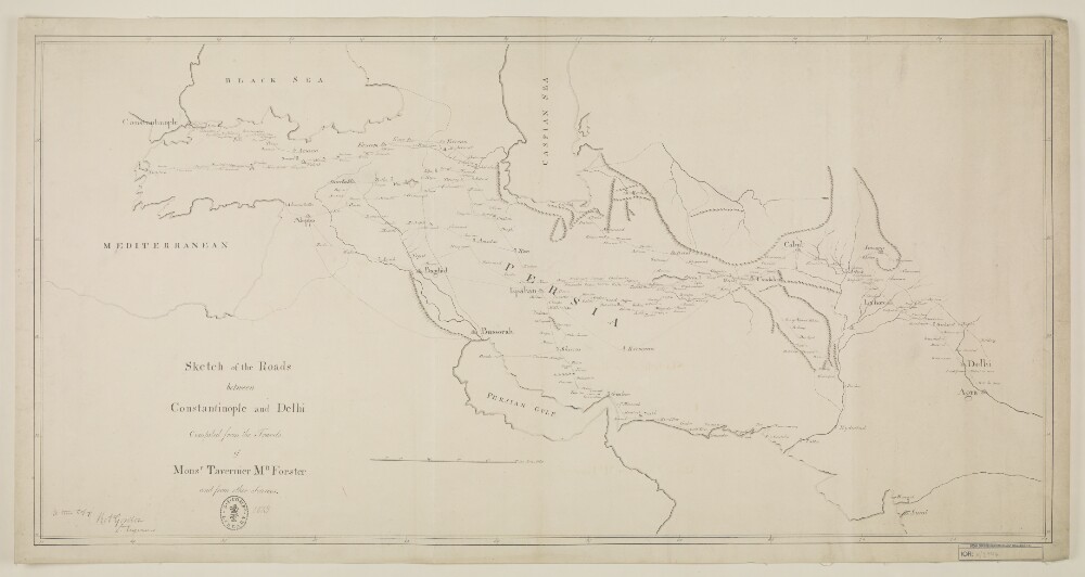
‘Sketch of the Roads Between Constantinople and Dehli compiled from the Travels of Monsr. Tavernier Mr Forster and from other Sources’
17 of 47
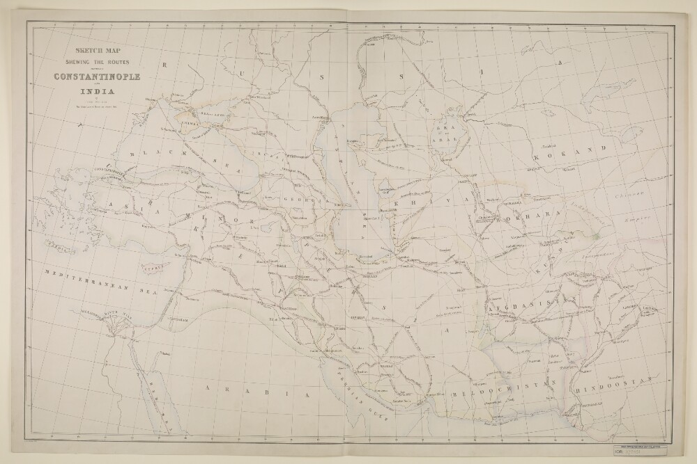
'Sketch Map shewing the Routes between Constantinople and India by John Walker’
18 of 47
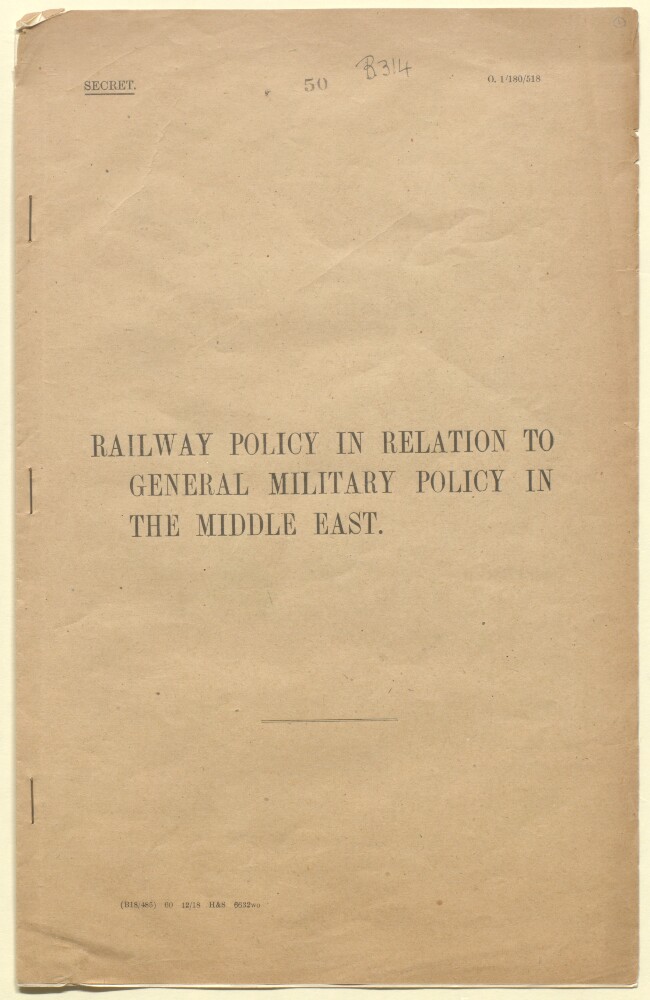
'Railway Policy in relation to General Military Policy in the Middle East'
19 of 47
'File 8/5 Monthly Intelligence Summaries, Iraq'
20 of 47
'File 8/40 British Supply Mission (Middle East) Monthly Letter'
21 of 47
'File 14/15 Middle East Oil'
22 of 47
'File 6/17 Air, Sea and Land Rescue Organisation'
23 of 47
'File 53/1915 Pt 2 German War: Turkey; the Caliphate and Pan-Arab movement'
24 of 47
« Previous
Next »
1
2
Current Page, Page 2
3
4