1 entry found
Number of results to display per page
Search Results
1. 'Military Report on The Anglo-Iranian Oil Company's (South Iranian) Oilfield Area'
- Description:
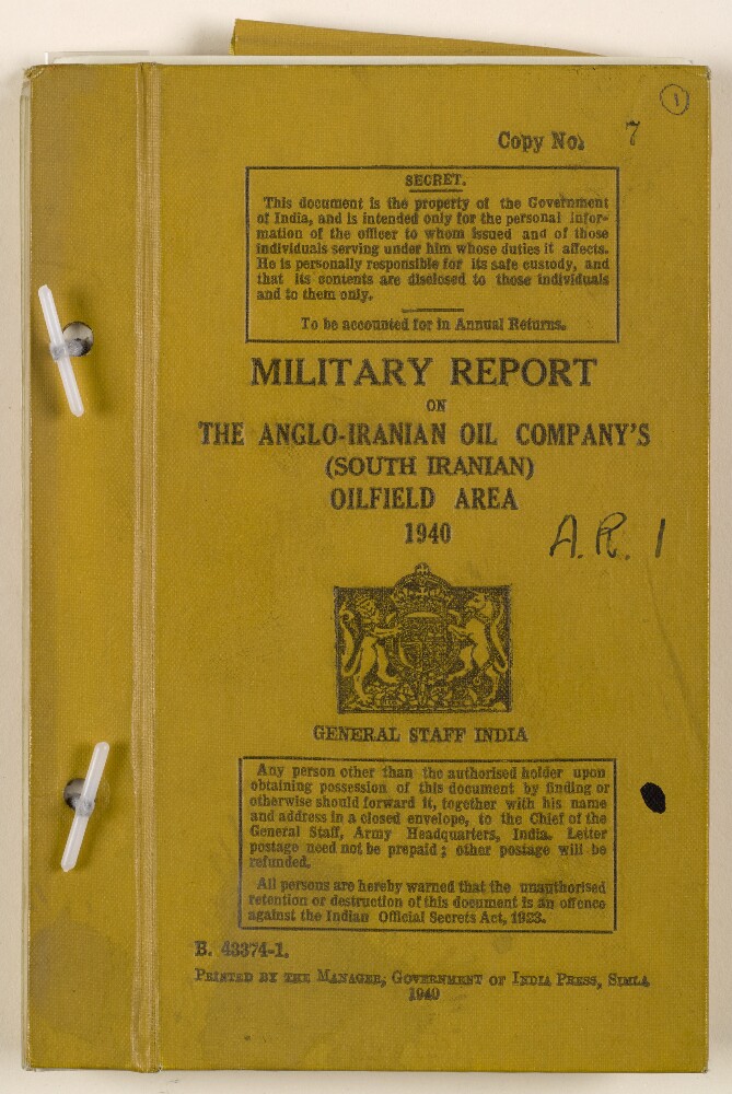
- Abstract: Military report compiled at the General Staff, Army Headquarters, India, and printed in Simla by The Manager, Government of India Press, 1940.The volume begins with a preface (folio 3) in which notes on authorities consulted in compiling the report are given. The rest of the report is divided into nine chapters (I-IX), plus appendices, each covering a different subject, as follows:Chapter I: General Description of the AreaChapter II: ClimateChapter III: PopulationChapter IV: Base PortsChapter V: Lines of Communication and Transportation FacilitiesChapter VI: Signal CommunicationsChapter VII: Economic Resources and SuppliesChapter VIII: Engineer and Ordnance FacilitiesChapter IX: Medical FacilitiesAppendicesIn a pocket at the back of the volume are the following maps and charts:Abadan and Bawarda (map) (folio 64)Naseri and Ahwaz, showing new bridge (map) (folio 65)Dar-i-Khazineh (map) (folio 66)Diagram of wireless communications (map) (folio 67)Sketch map showing flood water, February-March 1938 (folio 68)Road distance mileage chart (folio 69)Comparative bridge loading table (folio 70)One of the maps listed in the contents is missing: 'Map of A. I. O. C. [Anglo-Iranian Oil Company] Central and Southern areas showing oilfields, pipelines, telephone and telegraph lines'.Physical description: Foliation: the foliation sequence (used for referencing) commences at the front cover with 1, and terminates at the inside back cover with 71; these numbers are written in pencil, are circled, and are located in the top right corner of the recto side of each folio. Pagination: the file also contains an original printed pagination sequence.