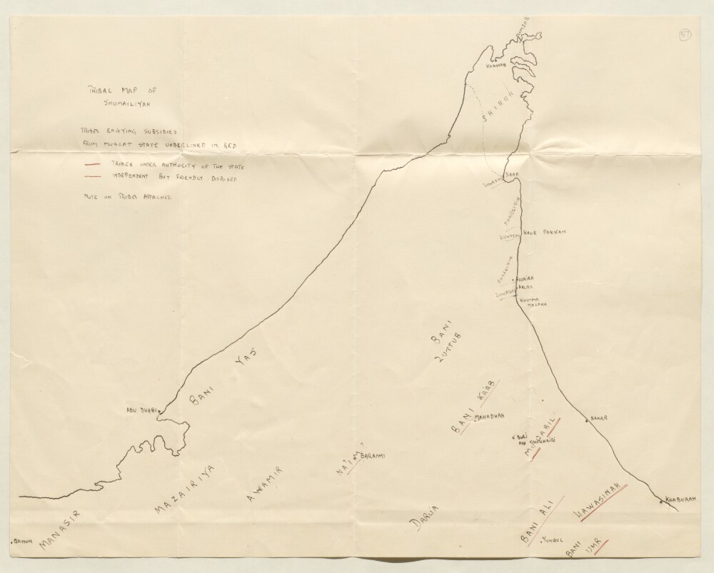
1. ‘TRIBAL MAP OF SHUMAILIYAH’ Date: 1927/1927 Language: English Geographic region: Trucial StatesBūshehrAbū-ShahrHormuz Isle
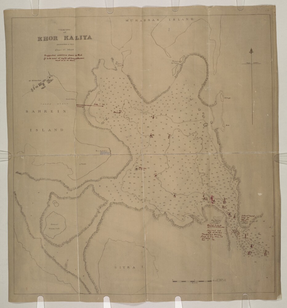
2. 'TRACING OF KHOR KALIYA. Chart No. 3540' Date: 1925/1935 Language: English Geographic region: BahrainBūshehrAbū-ShahrHormuz Isle
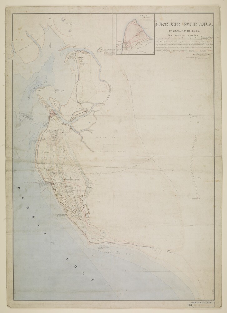
3. ‘Bū-Shehr Peninsula. By Lieut. A.W. Stiffe. H.M.I.N.’ Date: 1868/1878 Language: English Geographic region: BūshehrHormuz Isle
4. ‘File 5/6 I Brussels Conference and general rules and procedure on slave traffic’ Date: 1892/1925 Language: English Geographic region: BūshehrAbū-ShahrHormuz Isle
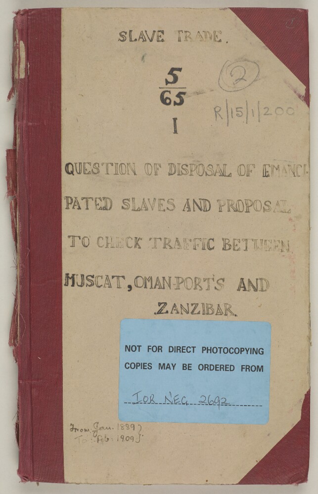
5. ‘File 5/65 I Question of disposal of emancipated slaves and proposal to check traffic between Muscat, Oman ports and Zanzibar’ Date: 1889/1905 Language: English Geographic region: BūshehrAbū-ShahrHormuz Isle
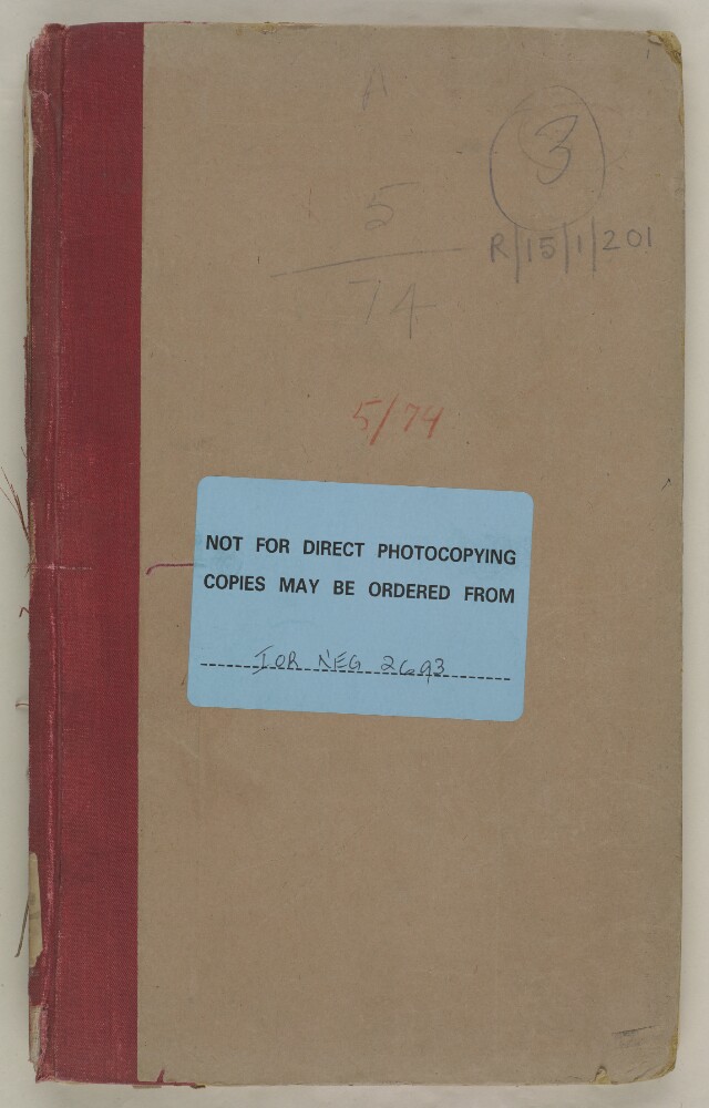
6. ‘File 5/74 Practice attributed to British authorities of surrendering fugitive slaves’ Date: 1897/1900 Language: English Geographic region: BūshehrAbū-ShahrHormuz Isle
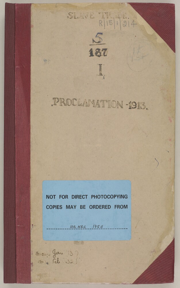
7. ‘File 5/187 I – Proclamation prohibiting slave trade’ Date: 1913/1938 Language: English Geographic region: BūshehrAbū-ShahrHormuz Isle
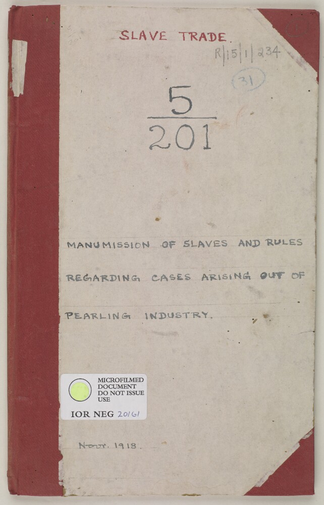
8. ‘File 5/201 Manumission of slaves and rules relating to cases arising out of the pearling industry’ Date: 1918/1918 Language: English Geographic region: BūshehrAbū-ShahrHormuz Isle
9. 'File 19/198 (C 75) Bahrain - Khor Kaliya' Date: 1927/1933 Language: English Geographic region: BahrainBūshehrAbū-ShahrHormuz Isle
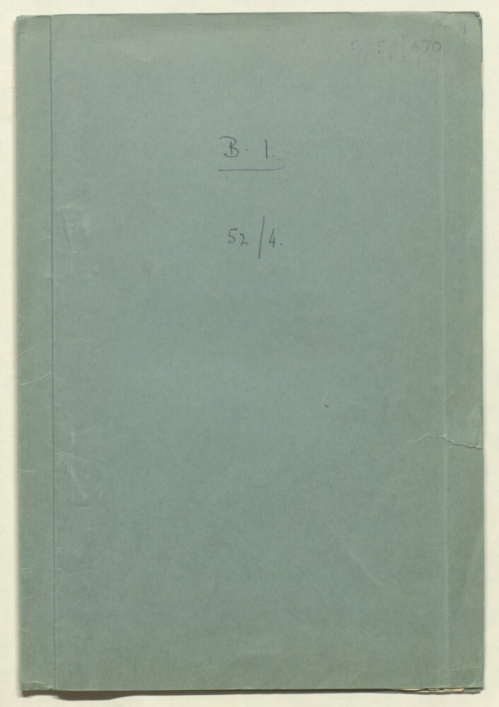
10. 'File 52/4 (B 1) Persian Islands (1) Kais [Kish] Island' Date: 1906/1908 Language: English Geographic region: KaisBūshehrAbū-ShahrHormuz Isle


_0001.jp2/full/!1000,1000/0/default.jpg)