1 - 3 of 3
Number of results to display per page
Search Results
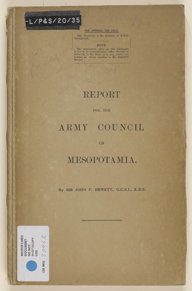
1. ‘Report for the Army Council on Mesopotamia. By Sir John P Hewett, GCSI, KBE’
- Description:
- Abstract: The volume contains an illustrated report, with maps, correspondence and statistical data included as appendices, for the Army Council on Mesopotamia [Iraq], prepared by Sir John Prescott Hewett for the War Office, dated 10 March 1919. The report focuses on: a) the administration and expenditure of agricultural and irrigation schemes put in place in Mesopotamia for 1918 and 1919, and administered by the Imperial Government; b) the extent to which expenditure on agriculture and irrigation schemes, charged against Imperial Army Funds, is necessary for the prosecution of war; c) infrastructure development in Mesopotamia (facilities at Basrah [Basra] port; railways; telegraphs, telephones and post; water supply; electrical and mechanical installations), and questions of their financial support through military and civil funds.The appendices include: maps illustrating the scope and geographical detail of the agricultural and irrigation schemes; correspondence providing context into the circumstances surrounding the need for and implementation of the schemes; statistical data, including: irrigation scheme expenditure; capacity at Basrah port; valuation of the dockyard; admission rates for Indian troops and followers with scurvy for the years 1916, 1917 and 1918; valuation of telegraph apparatus, telephone lines.Physical description: Foliation: the main foliation sequence (used for referencing) commences at the front cover with 1 and terminates at the back cover with 57; these numbers are written in pencil, are circled, and are located in the top right corner of the recto side of each folio.Pagination: the file contains an original printed pagination sequence.
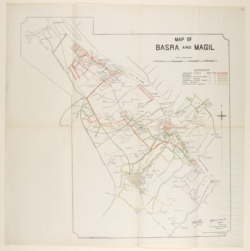
2. ‘MAP OF BASRA AND MAGIL’
- Description:
- Abstract: The map shows the state of the roads in and around Basra City. Different categories of roads are highlighted in different colours as follows: concrete roads (solid red line), metalled roads (red dashes), proposed metalled roads (small red dashes), kutcha roads (solid green line), proposed kutcha roads (green dashes), civil roads (yellow), and proposed civil roads (yellow dashes). A reference key for the map can be found in the top right corner.The scale of the map is 3 inches to 1 mile.The map includes two printing statements ‘Reproduced by Basrah Survey Party I.E.F.D No. 81 Dated 12.6.17’ and ‘Reproduced by Survey Party M.E.F. No. 339 Dated 30-1-19’.Physical description: Materials: Printed on paperDimensions: 645 x 640mm
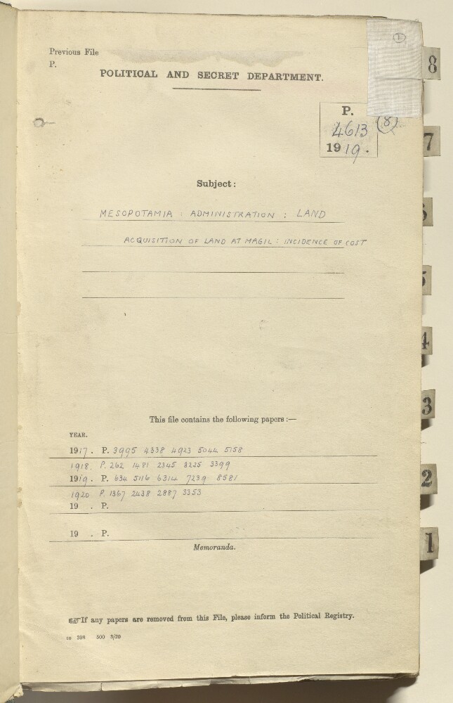
3. File 4613/1919 Pt 8 'MESOPOTAMIA: ADMINISTRATION: LAND ACQUISITION OF LAND AT MAGIL: INCIDENCE OF COST'
- Description:
- Abstract: This item consists of part eight of the subject file 4613/1919 Iraq: Land Tenure. It concerns British land policy in the occupied territories of Mesopotamia [Iraq], particularly in relation to the acquisition of land by the British for military purposes.The part is largely concerned with the acquisition of land in Magil [Al Ma‘qil]. Included in the correspondence is a copy of a set of enclosures, sent from the Government of India's Army Department to the Secretary of State for India, which features correspondence between the General Officer Commanding, Force D, and the Chief of General Staff, Simla; in addition to correspondence, the enclosures contain a number of appendices comprised of tables of figures relating to rights and land holdings in Magil.The correspondence discusses the legality of the acquisition under Ottoman law, as well as expenditure matters, such as whether the cost of acquisition should be debited to local revenues or military funds.Correspondents include the Civil Commissioner in Baghdad (Lieutenant-Colonel Arnold Talbot Wilson) the Viceroy of India (Frederic John Napier Thesiger, or Lord Chelmsford), and various officials of the Foreign Office, the India Office, the War Office, and the Treasury.Included with the part is a plan of land at Magil and a plan of a proposed site generating station in Basra.The French language material consists of one enclosure to an item of correspondence.Physical description: 1 item (93 folios)