Skip to search
Skip to main content
Skip to first result
Digital Library of the Middle East
Show facets
Hide facets
English
العربية
Contact us
Contact us
To contact us about any matter related to DLME, please use the form below.
Message
Your name
Ignore this text box. It is used to detect spammers. If you enter anything into this text box, your message will not be sent.
Your email
Cancel
Digital Library of the Middle East
Preserve. Access. Inspire.
Home
Explore
Contributors
About
Search in
Everything
Title
Creator / Contributor
Identifier
search for
Search
Home
Search results
Search
Search Constraints
Start Over
You searched for:
Spatial
Tigris River
✖
Remove constraint Spatial: Tigris River
« Previous |
1
-
12
of
28
|
Next »
Sort
by Relevance
Relevance
Title
Creator
Date (old to new)
Date (new to old)
Number of results to display per page
12
per page
per page
12
per page
24
per page
48
per page
96
per page
View results as:
List
Gallery
Slideshow
Search Results
×
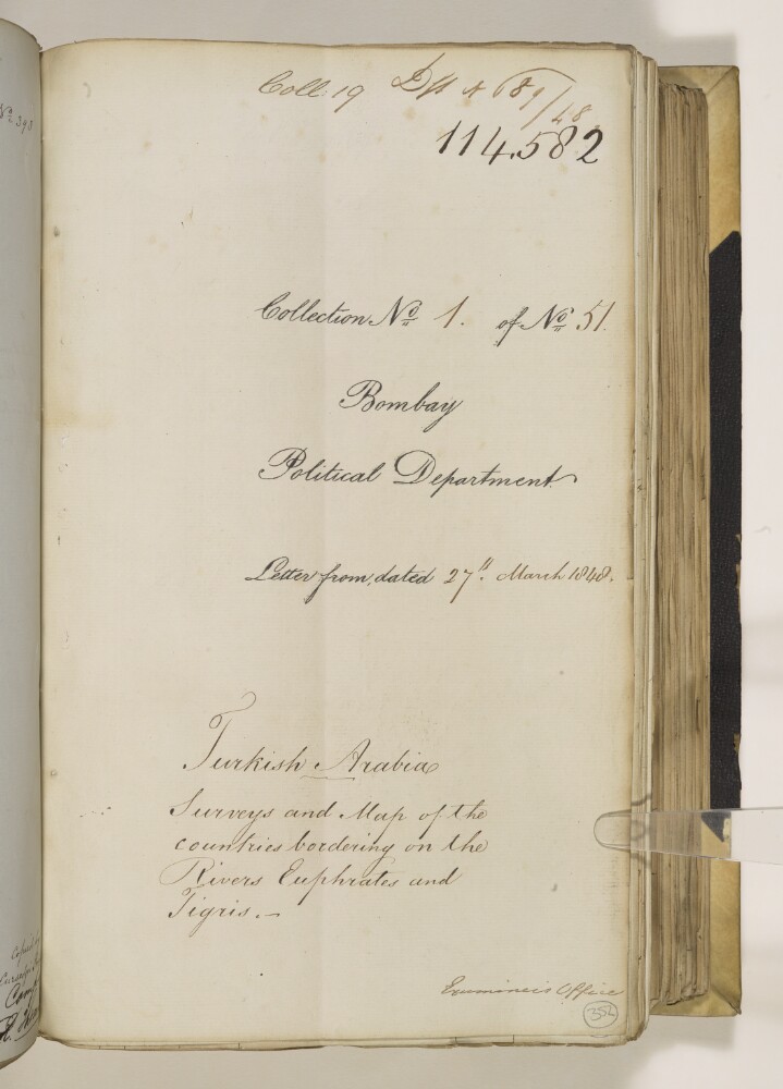
‘Turkish Arabia Surveys and Map of the countries bordering on the Rivers Euphrates and Tigris – ’
1 of 28
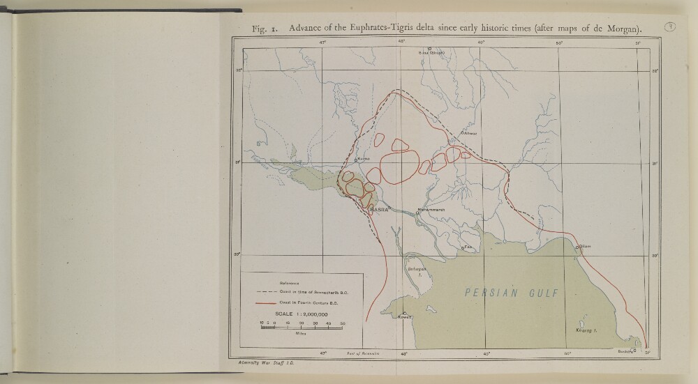
‘Fig. 1 Advance of the Euphrates-Tigris delta since early historic times (after maps of de Morgan)’
2 of 28
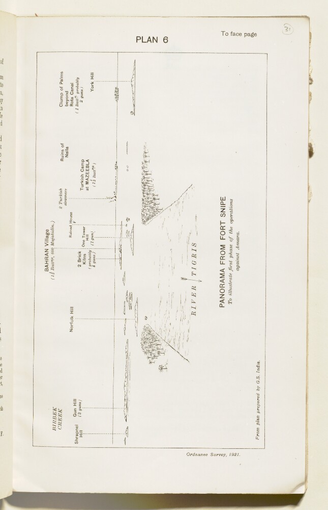
‘Plan 6. Panorama from Fort Snipe to illustrate first phase of the operations against Amara’
3 of 28
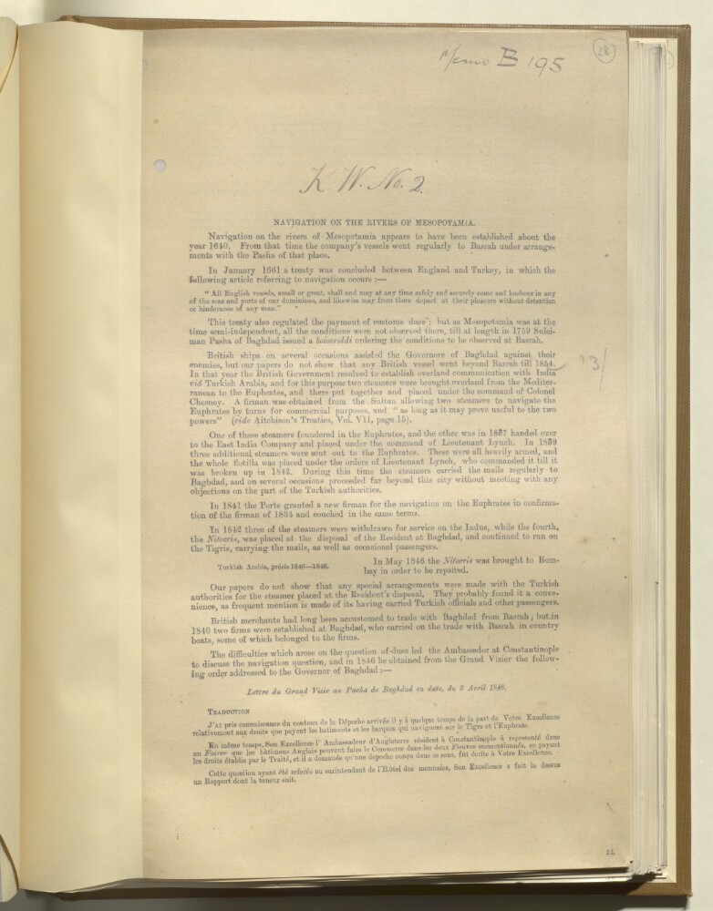
'Navigation on the rivers of Mesopotamia'
4 of 28
‘Euphrates Steam Expedition’
5 of 28
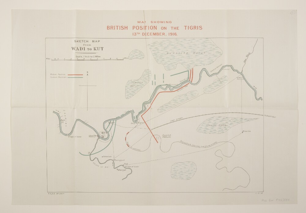
'Map Showing British Position on the Tigris 13th. December, 1916.'
6 of 28
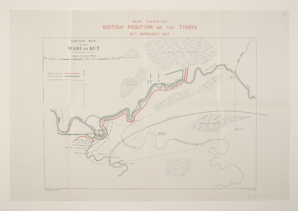
'Map Showing British Position on the Tigris 31st. January, 1917.'
7 of 28
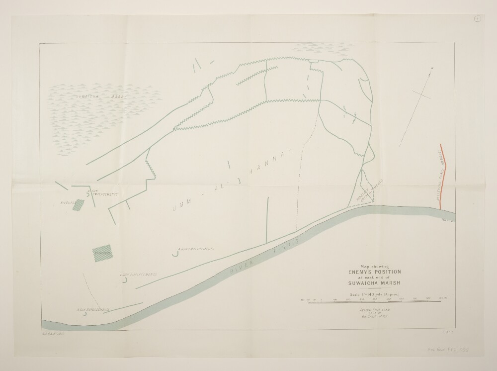
'Map showing Enemy's Position at east end of Suwaicha Marsh'
8 of 28
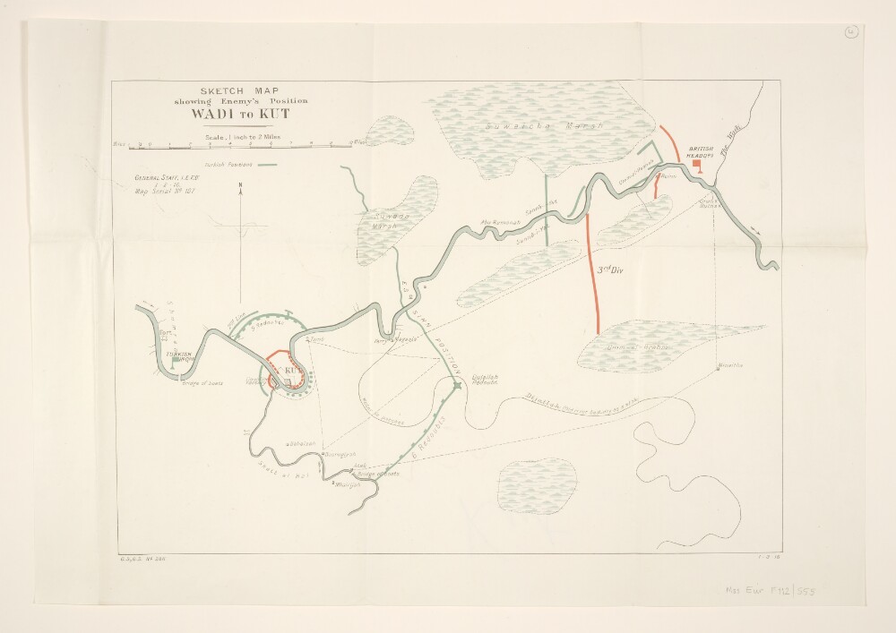
'Sketch Map showing Enemy's Position Wadi to Kut'
9 of 28
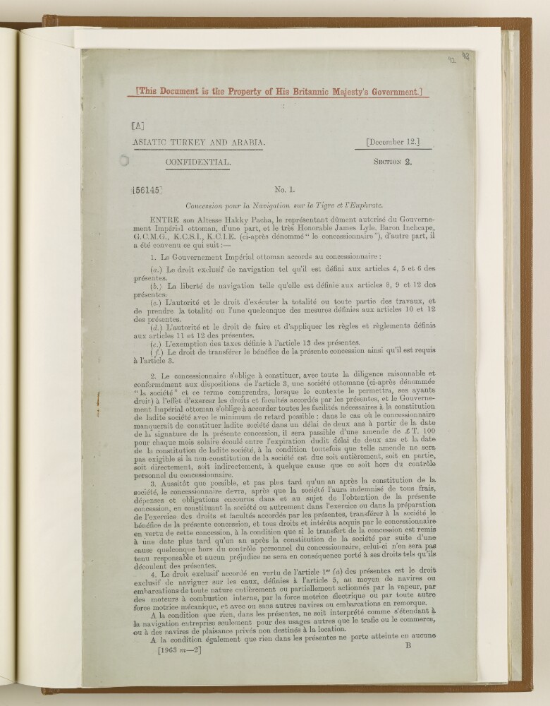
'No. 1. Concession pour la Navigation sur le Tigre et l'Euphrate.'
10 of 28
'MEMORANDUM RESPECTING THE NAVIGATION OF THE TIGRIS AND EUPHRATES.'
11 of 28
'Memorandum respecting the Claim of the Euphrates and Tigris Steam-ship Company to use Barges on those Rivers as a matter of "right"'
12 of 28
« Previous
Next »
1
Current Page, Page 1
2
3