« Previous |
1 - 12 of 20
|
Next »
Number of results to display per page
Search Results
1. 'CORRECTIONS TO THE GAZETTEER OF PERSIA VOLUME II'
- Description:
- Abstract: The volume consists of corrections to the Gazetteer of Persia Volume II(1st Series, 1917). It provides an index to the sub-tribes referred to in the volume.Printed at the Government Monotype Press, Simla, 1918.Physical description: Foliation: the foliation sequence (used for referencing) commences at the front cover with 1, and terminates at the inside back cover with 12; these numbers are written in pencil, are circled, and are located in the top right corner of the recto side of each folio. Pagination: the file also contains an original printed pagination sequence.
2. 'CORRECTIONS TO THE GAZETTEER OF PERSIA VOLUME III'
- Description:
- Abstract: The volume consists of corrections to the Gazetteer of Persia Volume III(1st Series, 1918). It provides an index to the sub-tribes referred to in the volume.Printed at the Government Monotype Press, Simla, 1918.Physical description: Foliation: the foliation sequence (used for referencing) commences at the front cover with 1, and terminates at the inside back cover with 54; these numbers are written in pencil, are circled, and are located in the top right corner of the recto side of each folio. An additional foliation sequence is present in parallel between ff 4-53; these numbers are printed, and are not circled.
3. 'CORRECTIONS TO GAZETTEER OF PERSIA. VOLUME III'
- Description:
- Abstract: The volume consists of corrections to the Gazetteer of Persia Volume III(1910 Edition). This volume was produced in 1913 (4th series) by the General Staff, India.The gazetteer includes entries on villages, towns, administrative divisions, districts, provinces, tribes, halting-places, religious sects, mountains, hills, streams, rivers, springs, wells, dams, passes, islands and bays. The entries provide details of latitude, longitude, and elevation for some places, and information on history, communications, agriculture, produce, population, health, water supply, topography, climate, military intelligence, coastal features, ethnography, trade, economy, administration and political matters.Printed at the Government Monotype Press, Simla.Physical description: Foliation: the foliation sequence commences at the first folio with 1 and terminates at the last folio with 88; these numbers are printed or in pencil, and are located in the top right corner of the recto side of each folio. The foliation sequence does not include the front and back covers.
4. ‘Military Report on ’Arabistan (Area No. 13).’
- Description:
- Abstract: Confidential military report on Arabistan [Khūzestān] compiled by Air Headquarters, Iraq, and printed by the Government of India Press, 1924.The report contains nine chapters (numbered I-IX) and seven appendices (A-G) as follows:chapter I – history (general, ancient, modern, political attitude);II – geography (boundaries, area, general description, altitude, mountains, rivers and fords, towns and villages, tracts of land, islands, fortified places, political divisions);III – climate (general, temperature, winds, rainfall, mirages, general medical and sanitary conditions, principal diseases, conditions affecting aviation and military operations);IV – economic resources (general, labour, agriculture, livestock, manufacture, power, commerce, customs, banking, revenue, tables of imports and exports);V – ethnography (general, population, races, religions, languages);VI – tribes (general, armed forces, tribes in relation to possible centres of disturbance, political attitudes, military considerations, tribal action, punitive measures, recapitulation, lists of tribes);VII – personalities;VIII – communications (general, communications by sea, inland waterways, railways, telegraphs and telephones, post, aerodromes and possible aerodromes, wireless and visual communication, principal routes by land, sea and river);IX – administration (general, government establishments, northern province, southern province);appendix A – bibliographical notes;B – weights and measures, coinage and time;C – glossary of topographical terms;D – Karun river [Rūd-e Kārūn] regulations;E – concession granted to the “Nasiri Company”;F – customs schedule;G – Anglo-Persian Oil Company.The volume contains a single map in a pocket attached to the inside back cover (folio 180).Physical description: Foliation: the foliation sequence (used for referencing) commences at the front cover with 1, and terminates at the inside back cover with 181; these numbers are written in pencil, are circled, and are located in the top right corner of the recto side of each folio.Pagination: the file also contains an original printed pagination sequence.
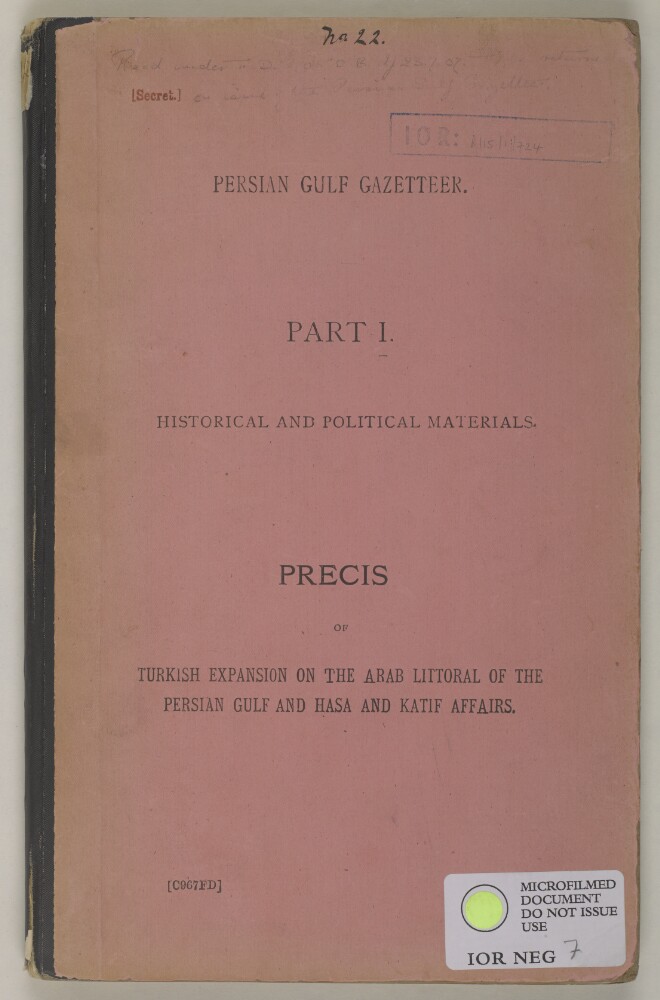
5. 'Persian Gulf Gazetteer, Part I Historical and Political Materials, Précis of Turkish Expansion on the Arab Littoral of the Persian Gulf and Hasa and Katif [al-Qaṭīf] Affairs'
- Description:
- Abstract: The volume is Persian Gulf Gazetteer, Part I Historical and Political Materials, Precis of Turkish Expansion on the Arab Littoral of the Persian Gulf and Hasa and Katif Affairs(Simla: G C Press, 1904).The volume charts the history and internal affairs of Hasa and Katif [al-Qaṭīf] from early times up to the present, and has sections dedicated to a survey of the Katif coast, Turkish policy, trade, piracy, and Turkish designs on Oman.Physical description: Pagination: the volume contains an original pagination sequence, which commences at 1 on the title page, and terminates at 146 on the last page before the back cover. These numbers are printed, with additions and corrections in pencil, and can be found in the top centre of each page. Pagination anomalies: pp. 1, 1A, 1B, 1C, 1D, 1E, 1F, 1G, 1H.
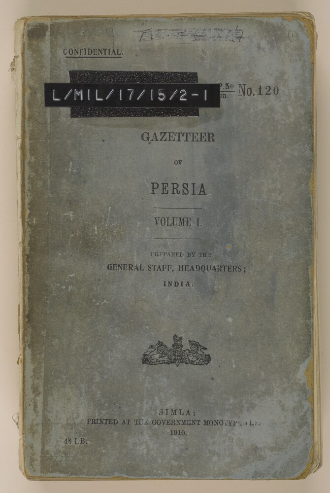
6. 'GAZETTEER OF PERSIA. VOLUME I'
- Description:
- Abstract: The item is Volume I of the four-volume Gazetteer of Persia(1910 edition).The volume covers the provinces of Astarabad, Shahrud-Bustam, and Khorasan, or such part of them as lies within the following boundaries: on the north the Russo-Persian boundary; on the east the Perso-Afghan boundary; on the south and south-west, a line drawn from the Afghan boundary west through Gazik to Birjand, and the road from Birjand to Kirman, and from Kirman to Yazd; and on the west the road from Yazd to Damghan and thence to Ashraf.The gazetteer includes entries on villages, towns, administrative divisions, districts, provinces, tribes, halting-places, religious sects, mountains, hills, streams, rivers, springs, wells, dams, passes, islands and bays. The entries provide details of latitude, longitude, and elevation for some places, and information on history, communications, agriculture, produce, population, health, water supply, topography, military intelligence, coastal features, ethnography, trade, economy, administration and political matters.Information sources are provided at the end of each gazetteer entry, in the form of an author or source’s surname, italicised and bracketed.The volume contains an index map (from a later edition of the Gazetteer of Persia), dated January 1917, on folio 397.The volume also contains a glossary (folios 393-394); and note on weights and measures (folios 394v-395).Prepared by the General Staff Headquarters, India.Printed at the Government Monotype Press, India.Physical description: Foliation: the foliation sequence (used for referencing) commences at the front cover with 1, and terminates at the inside back cover with 398; these numbers are written in pencil, are circled, and are located in the top right corner of the recto side of each folio. Pagination: the file also contains an original printed pagination sequence.
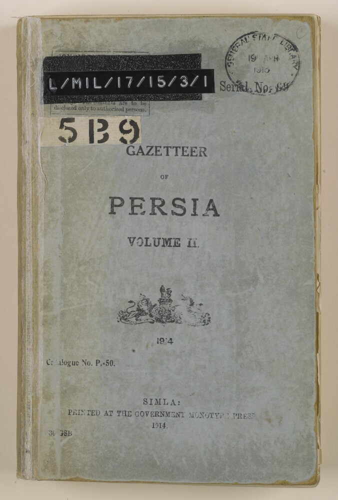
7. 'GAZETTEER OF PERSIA. VOLUME II'
- Description:
- Abstract: The item is Volume II of the four-volume Gazetteer of Persia(1914 edition).The volume comprises the north-western portion of Persia, bounded on the west by the Turco-Persian frontier; on the north by the Russo-Persian frontier and Caspian Sea; on the east by a line joining Barfarush, Damghan, and Yazd; and on the south by a line joining Yazd, Isfahan, and Khanikin.The gazetteer includes entries on human settlements (towns, villages, provinces, and districts); communications (roads, bridges, halting places, caravan camping places, springs, and cisterns); tribes and religious sects; and physical features (rivers, streams, valleys, mountains and passes). Entries include information on history, geography, climate, population, ethnography, resources, trade, and agriculture.Information sources are provided at the end of each gazetteer entry, in the form of an author or source’s surname, italicised and bracketed.A Note (folio 4) makes reference to a map at the end of the volume; this is not present, but an identical map may be found in IOR/L/MIL/17/15/4/1 (folio 636) and IOR/L/MIL/17/15/4/2 (folio 491).Printed at the Government of India Monotype Press, Simla, 1914.Physical description: Foliation: the foliation sequence for this description commences at the front cover with 1, and terminates at inside back cover with 351; these numbers are written in pencil, are circled, and are located in the top right corner of the recto side of each folio. Pagination: the volume also contains an original printed pagination sequence.
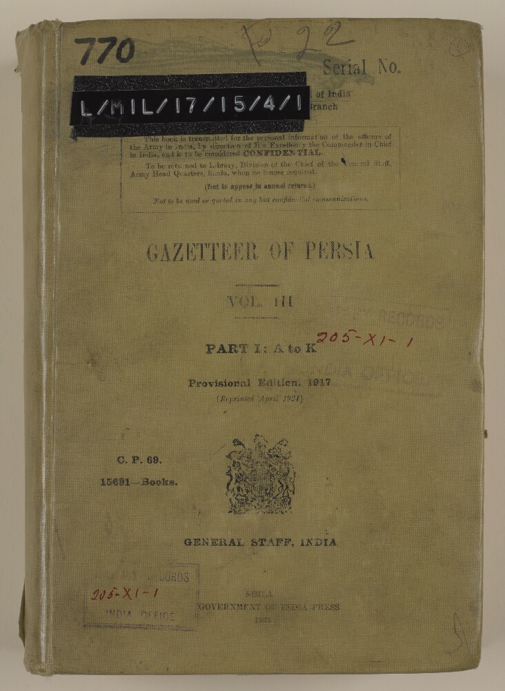
8. 'GAZETTEER OF PERSIA. VOL. III. PART I: A to K'
- Description:
- Abstract: The item is Volume III, Part I: A to K of the four-volume Gazetteer of Persia(Provisional Edition, 1917, reprinted 1924).The volume comprises that portion of south-western Persia, which is bounded on the west by the Turco-Persian frontier; on the north and east by a line drawn through the towns of Khaniqin [Khanikin], Isfahan, Yazd, Kirman, and Bandar Abbas; and on the south by the Persian Gulf.The gazetteer includes entries on towns, villages, districts, provinces, tribes, forts, dams, shrines, coastal features, islands, rivers, streams, lakes, mountains, passes, and camping grounds. Entries include information on history, geography, climate, population, ethnography, administration, water supply, communications, caravanserais, trade, produce, and agriculture.Information sources are provided at the end of each gazetteer entry, in the form of an author or source’s surname, italicised and bracketed.The volume includes an Index Map of Gazetteer and Routes in Persia (folio 636), showing the whole of Persia with portions of adjacent countries, and indicating the extents of coverage of each volume of the Gazetteer and Routes of Persia, administrative regions and boundaries, hydrology, and major cities and towns.Printed at the Government of India Press, Simla, 1924.Physical description: Foliation: the foliation sequence (used for referencing) commences at the front cover with 1, and terminates at the inside back cover with 637; these numbers are written in pencil, are circled, and are located in the top right corner of the recto side of each folio. Pagination: the file also contains an original printed pagination sequence.
9. 'GAZETTEER OF PERSIA. VOL. III. PART II: L to Z'
- Description:
- Abstract: The item is Volume III, Part II: L to Z of the four-volume Gazetteer of Persia(Provisional Edition, 1917, reprinted 1918).The volume comprises that portion of south-western Persia, which is bounded on the west by the Turco-Persian frontier; on the north and east by a line drawn through the towns of Khaniqin [Khanikin], Isfahan, Yazd, Kirman, and Bandar Abbas; and on the south by the Persian Gulf.The gazetteer includes entries on towns, villages, districts, provinces, tribes, forts, dams, shrines, coastal features, islands, rivers, streams, lakes, mountains, passes, and camping grounds. Entries include information on history, geography, climate, population, ethnography, administration, water supply, communications, caravanserais, trade, produce, and agriculture.Information sources are provided at the end of each gazetteer entry, in the form of an author or source’s surname, italicised and bracketed.The volume includes an Index Map of Gazetteer and Routes in Persia (folio 491), showing the whole of Persia, with portions of adjacent countries, and indicating the extents of coverage of each volume of the Gazetteer and Routes of Persia, administrative regions and boundaries, hydrology, and major cities and towns.The volume includes a glossary (folios 423-435); and corrections (Index to the sub-tribes referred to in the Gazetteer of Persia, Volume III, folios 436-488).Printed by Superintendent Government Printing, India, Calcutta 1918.Physical description: Foliation: the foliation sequence (used for referencing) commences at the front cover with 1, and terminates at the inside back cover with 492; these numbers are written in pencil, are circled, and are located in the top right corner of the recto side of each folio. Pagination: the file also contains an original printed pagination sequence.
10. 'GAZETTEER OF PERSIA. VOL. III.'
- Description:
- Abstract: The item is Volume III of the four-volume Gazetteer of Persia(1910 edition).The volume comprises that portion of south-western Persia, which is bounded on the west by the Turco-Persian frontier; on the north and east by a line drawn through the towns of Khaniqin [Khanikin], Isfahan, Yazd, Kirman, and Bandar Abbas; and on the south by the Persian Gulf.The gazetteer includes entries on villages, towns, administrative divisions, districts, provinces, tribes, halting-places, religious sects, mountains, hills, streams, rivers, springs, wells, dams, passes, islands and bays. The entries provide details of latitude, longitude, and elevation for some places, and information on history, communications, agriculture, produce, population, health, water supply, topography, climate, military intelligence, coastal features, ethnography, trade, economy, administration and political matters.Information sources are provided at the end of each gazetteer entry, in the form of an author or source’s surname, italicised and bracketed.The volume contains an index map, dated July 1909, on folio 488.The volume also contains a glossary (folios 481-486).Compiled in the Division of the Chief of the General Staff, Army Headquarters, India.Printed at the Government Monotype Press, India.Physical description: Foliation: the foliation sequence for this description commences at the front cover with 1, and terminates at the inside back cover with 489; these numbers are written in pencil, are circled, and are located in the top right corner of the recto side of each folio. Pagination: the volume also contains an original printed pagination sequence.
11. 'GAZETTEER OF PERSIA. VOLUME IV.'
- Description:
- Abstract: The item is Volume IV of the four-volume Gazetteer of Persia(1910 edition).The volume comprises that portion of Persia south and east of the Bandar Abbas-Kirman-Birjand to Gazik line, with the exception of Sistan, 'which is dealt with in the Military Report on Persian Sistan'. It also includes the islands of Qishm, Hormuz, Hanjam, Larak etc. in the Persian Gulf and the whole district of Shamil.The gazetteer includes entries on villages, towns, administrative divisions, districts, provinces, tribes, halting-places, religious sects, mountains, hills, streams, rivers, springs, wells, dams, passes, islands and bays. The entries provide details of latitude, longitude, and elevation for some places, and information on history, communications, agriculture, produce, population, health, water supply, topography, climate, military intelligence, coastal features, ethnography, trade, economy, administration and political matters.Information sources are provided at the end of each gazetteer entry, in the form of an author or source’s surname, italicised and bracketed.The volume contains an index map, dated July 1909, on folio 323.The volume also contains a glossary (folios 313-321).Prepared by the General Staff, Army Headquarters, India.Printed at the Government Monotype Press, India.Physical description: Foliation: the foliation sequence for this description commences at the front cover with 1, and terminates at the inside back cover with 324; these numbers are written in pencil, are circled, and are located in the top right corner of the recto side of each folio. Pagination: the volume also contains an original printed pagination sequence.
12. ‘Gazetteer of Kermanshah.’
- Description:
- Abstract: Gazetteer of the province of Kermanshah, Persia [Iran], compiled by Hyacinth Louis Rabino, Vice-Consul at Resht [Rasht] at the time of the gazetteer’s publication in 1907, and who had been Acting Consul at Kermanshah during 1904 and 1905. The gazetteer, which is marked for official use only, was issued by the Division of the Chief of the Staff of the Government of India, and published at the Government Central Printing Office, Simla [Shimla]. At the front of the volume is an introduction by Lieutenant-Colonel Wilfrid Malleson, Acting Quartermaster General for Intelligence, dated 22 March 1907, and a preface by the author, dated 24 June 1904, with notes on the transliteration system used (folios 4-5).The gazetteer includes five appendices, numbered I to V, as follows:appendix I, a translation from the French original of a description of the road from Kermanshah to Mendali [Mandalī], via Harunabad [Eslāmābād-e Gharb] and Gilan [Sarāb-e Gīlān], as recorded in a journal by Leon Leleux, Inspector General of Customs at Kermanshah;II, a translation from the Persian original of a description of the villages in the immediate vicinity of the caravanserai of Mahidasht, written by the Mirza of Customs at Mahidasht;III, a vocabulary of terms;IV, a list of the principal roads from Baghdad to Teheran via Kermanshah, with distances given in miles and farsakhs;V, a list of the notables of Kermanshah.The gazetteer contains extensive extracts from a range of sources, including: an earlier, unspecified gazetteer, published in 1885; various works on Persia by British Government officials (including Sir Henry Creswicke Rawlinson, the Viceroy of India George Nathaniel Curzon, Captain George Campbell Napier); published works by a number of scholars and explorers of Persia (notably Trevor Chichele Plowden, Jacques De Morgan, Henry James Whigham, and James Baillie Fraser); reports from other sources, including Leleux, and the Mirza of Customs at Mahidasht.Some of the appendices’ pages appear to have been mixed up. Included among them are: a genealogical table of the princes of Kermanshah (f 239); and hierarchical tables listing the chiefs of the principal tribes of the province of Kermanshah (ff 244-245).Physical description: Foliation: the foliation sequence (used for referencing) commences at the front cover with 1, and terminates at the inside back cover with 250; these numbers are written in pencil, are circled, and are located in the top right corner of the recto side of each folio.Pagination: the file also contains an original printed pagination sequence.
- « Previous
- Next »
- 1 Current Page, Page 1
- 2