Number of results to display per page
Search Results
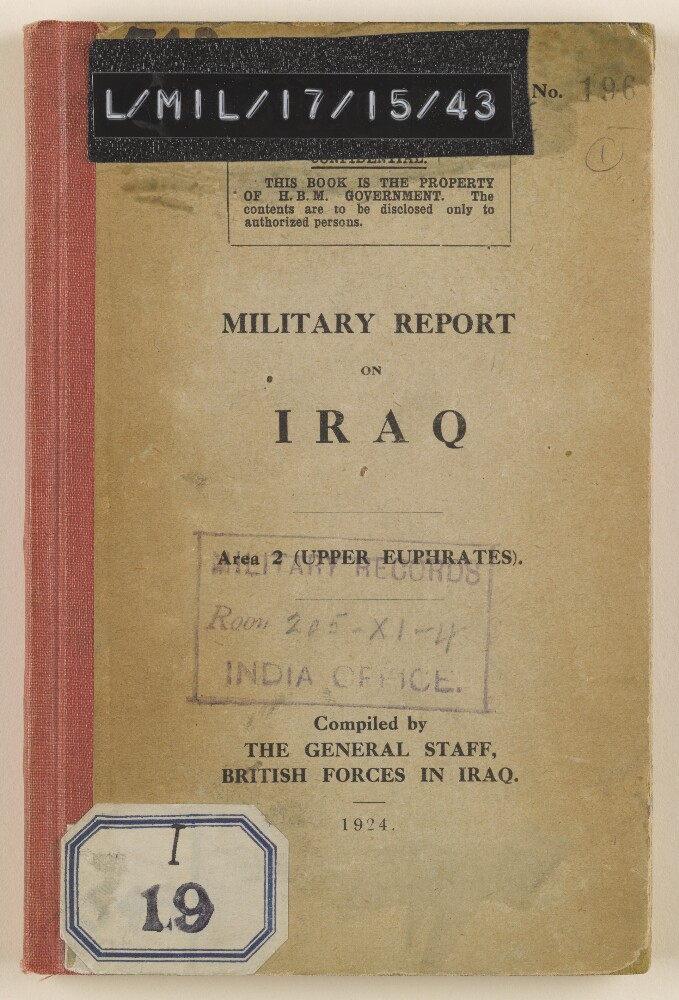
37. 'Military Report on Iraq. Area 2 (Upper Euphrates)'
- Description:
- Abstract: This volume prepared by the General Staff of the British Forces in Iraq was published as part of a series of ten similar military reports on Iraq after the First World War. The report covers the history, geography, climate, demography, natural resources, ethnography and important personalities of the Upper Euphrates region of Iraq. The report's focus is on the military capabilities of various populations, their political allegiances, and the basic economic infrastructure of the region.Physical description: Foliation: the foliation sequence for this description commences at the front cover with 1, and terminates at the inside back cover with 68; these numbers are written in pencil, are circled, and are located in the top right corner of the recto side of each folio.Pagination: the volume also contains an original printed pagination sequence.
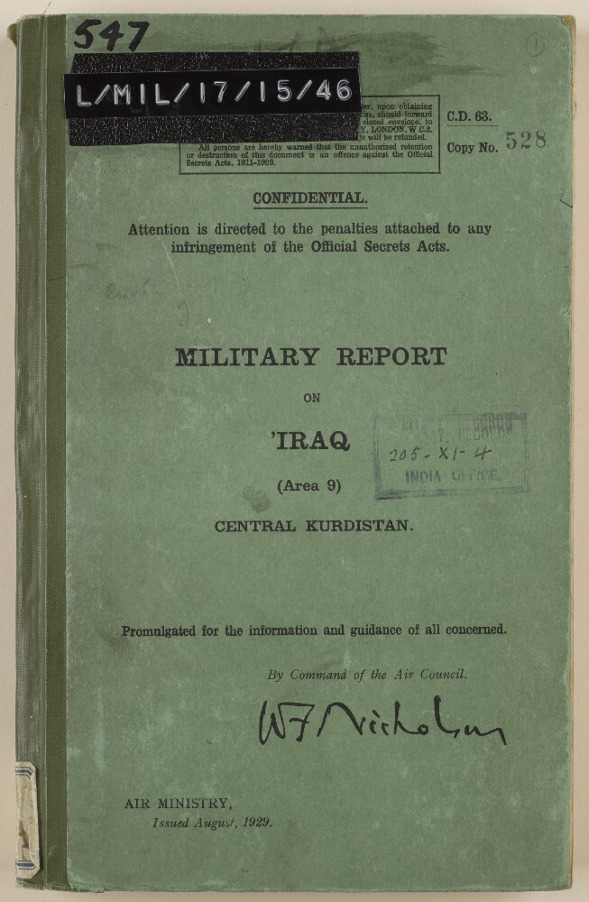
38. 'Military report on Iraq. Area 9 (Central Kurdistan)'
- Description:
- Abstract: This volume compiled and published by the Air Ministry in London in August of 1929 is one of a set of ten volumes produced for British military forces in Iraq. Area 9 covers the region of central Kurdistan and is divided into chapters on history, population, political geography, physical geography, climate, communications, resources, tribes, aviation, and personalities. The volume also contains numerous maps of important Kurdish cities and towns, as well as two maps of Area 9. The content of the chapters is dominated by information meant to be useful to military units and therefore contains detailed statistics on the military preparedness of both native populations and Turkish forces in the region.Physical description: Foliation: the foliation sequence for this description commences at the front cover with 1, and terminates at the inside back cover with 195; these numbers are written in pencil, are circled, and are located in the top right corner of the recto side of each folio. Pagination: the volume also contains an original printed pagination sequence.

39. 'Military Report on Mesopotamia (Iraq)'
- Description:
- Abstract: This volume was produced for the General Staff of the British Forces in Iraq and was published in 1922. It covers the Northern Jazirah area of Iraq which is one of ten areas covered by the volumes produced in the same series. The various chapters of the book cover history, geography, climate, natural resources, ethnography, tribes, and personalities of the Northern Jazirah. The volume also covers the communications and strategic and tactical infrastructure of the area. All of the content is produced with the aim of providing basic military intelligence to forces operating in Iraq at the time.Physical description: Foliation: the foliation sequence (used for referencing) commences at the front cover with 1, and terminates at the inside back cover with 111; these numbers are written in pencil, are circled, and are located in the top right corner of the recto side of each folio.Pagination: the file also contains an original printed pagination sequence.
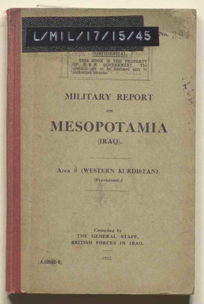
40. 'Military report on Mesopotamia (Iraq)'
- Description:
- Abstract: This booklet pertaining to Area 8 (Western Kurdistan) was compiled by the General Staff of the British Forces in Iraq and published in 1923. It is meant as a practical field guide to military forces operating in Iraq, and is one of ten editions covering various areas of the country. The content of the booklet covers history, geography, climate, natural resources, ethnography, tribal populations, important personalities, communications and Turkish military readiness and capabilities in each region.Physical description: Foliation: the foliation sequence for this description commences at the front cover with 1, and terminates at the inside back cover with 78; these numbers are written in pencil, are circled, and are located in the top right corner of the recto side of each folio.Pagination: the volume also contains an original printed pagination sequence.
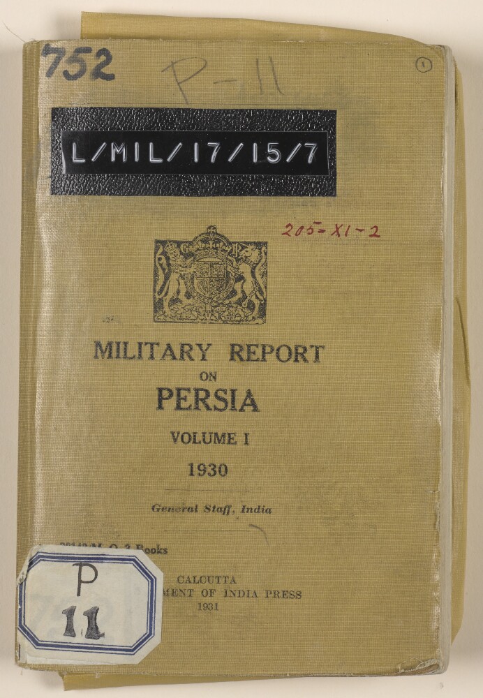
41. ‘Military report on Persia Volume I 1930’
- Description:
- Abstract: Military report on the Khurasan [Khurāsān] and Seistan [Sīstān] regions of Persia [Iran], with maps and illustrations. Produced by the General Staff, India, and published in Calcutta [Kolkata] by the Government of India Press, 1931. Marked for official use only.The report includes chapters on:a history of Khurasan and Seistanthe geography of Khurasan and Seistan (mountains, rivers, deserts, an alphabetical listing of towns) and climate (including assessments of the health risks associated with both regions)population (religion, tribes)resources (including crops, grazing, fuel, transport, and a note on horses and mules in Khurasan)armed forces (including a description of the Eastern Division of the Persian military, an Order of Battle, organisation, armaments, equipment, clothing, rations, training)aviation (detailing the organisation, personnel, equipment, aerodromes, etc., of the Persian Air Force)administration (municipal, police, justice, department of public instruction, revenue, roads and communications, census, post and telegraphs, sanitation)communications (railways, roads, types of motor transport in use, principal routes used by travellers from Meshed [Mashad] to Russian territory, telegraphs, telephones, wireless)An appendix includes a veterinary note on conditions in Khurasan and Seistan. The volume also includes four colour plates illustrating different badges associated with Persian army and police officers, and a number of maps and diagrammatic maps.Physical description: Foliation: the foliation sequence (used for referencing) commences at the front cover with 1, and terminates at the inside back cover with 75; these numbers are written in pencil, are circled, and are located in the top right corner of the recto side of each folio.Pagination: the file also contains an original printed pagination sequence.
42. 'Military Report on Persia'
- Description:
- Abstract: A confidential report on Persia, compiled by Major A D Geddes, Captain of the General Staff, War Office, 1905.Contained within the report are chapters on the history, ethnography, geography, ports and harbours, communications, trade and resources, military, and administration of Persia. Also included is a preface by Major-General J M Grierson, General Staff, War Office (folio 4), a glossary of geographical and topographical terms (folios 8-9), appendices (folios 58-60), and a colour map of Persia and Afghanistan (folio 64).Physical description: Foliation: the foliation sequence (used for referencing) commences at the front cover with 1, and terminates at the inside back cover with 63; these numbers are written in pencil, are circled, and are located in the top right corner of the recto side of each folio.
43. 'MILITARY REPORT ON PERSIA'
- Description:
- Abstract: The volume is Military Report on Persia. Compiled by the General Staff, Army Headquarters, India (Simla: 1912, originally published 1911).The volume contains a summary history of Persia, followed by sections on the country's geography and climate; ethnography; resources; army; naval forces; places of strategic importance and military notes; ports, harbours and islands; administration; and communications.The volume contains three appendices:A: a list of Persian notables, 1911;B: bibliography;C: glossaries.There is a Map of Persia on folio 230.Physical description: Foliation: the foliation sequence (used for referencing) commences at the front cover with 1, and terminates at the inside back cover with 231; these numbers are written in pencil, are circled, and are located in the top right corner of the recto side of each folio. Pagination: the file also contains an original printed pagination sequence.
44. ‘Military report on Persia. Vol IV, part I. Persian Baluchistan, Kerman and Bandar Abbas.’
- Description:
- Abstract: Military report on Persia (volume IV, part I, covering Persian Baluchistan, Kermān and Bandar Abbas [Bandar-e ʻAbbās]), dated 1922, and published by the Central Government Press at Simla in 1923. The report’s chapters cover:History, including: Persia’s recent political history; a recent history of Persian Baluchistan, and military operations in Persia Baluchistan, notably the operations at Dizak in 1901-02, operations against maritime arms trafficking in 1909, an expedition against Makrān in 1911 to check arms trafficking, and operations against the Dāmānīs in East Persia in 1916, to protect British interests in Persia; b) a brief history of Kermān; and c) a brief history of Bandar-e ʻAbbās.Geographyfor Persian Baluchistan; Kermān; and Bandar-e ʻAbbās, with headings for boundaries, administrative districts, and the principal villages for each region, as well as sections on rivers, lakes, mountains, harbours and deserts as appropriate. The section on Bandar-e ʻAbbās includes a description of buildings, water supply, camping grounds, roads and local industry. There are also descriptions of the principal islands off the Persian Baluchistan coast: Qishm [Qeshm], Henjam [Hengam] and Hormuz.Ethnography, including: general characteristics; notes for intelligence officers; sections on the population and tribes of Persian Baluchistan, Kermān Bandar-e ʻAbbās.Climate and Health, including details of medical facilities.Resources, including: transport (camels, mules, donkeys, horse and oxen); and supplies, chiefly of agricultural crops, by region and village.Military, including: British garrisons and South Persia Rifles; the Persian Army; the fighting strength of the Persian tribes, organised by region and village; military notes on Persian Baluchistan, including the arms traffic in the Persian Gulf.Communications, including: the railway line between Mirjāwā [Mīrjāveh] and Duzdāp, its facilities (water, rolling stock, telegraph), and risks of damage to the line; other proposed lines between Bandar-e ʻAbbās and Kermān, and Gwadar and Kermān; cable, wireless, telephone lines, and visual signalling stations.Political, including an outline of administration in Persian Baluchistan, Kermān and Bandar-e ʻAbbās, and information on currency, weights and measures.Appendix A is a list of the nomadic tribes of the Kermān province, listed by district and the number of families in each tribe. Appendix B is a list of the annual subsidies paid to chiefs in Persian Baluchistan by the Indo-European Telegraph Department, for the protection of lines passing through their district. Appendix C is a table of resources (livestock, agricultural produce), with figures indicating the requirements for local consumption in each district. Appendix D is a distribution statement of the Sarhad Levy Corps as of 1 July 1922.The maps and plans include: a map of Persian Baluchistan (folio 78); a map of Kerman and its environs (folio 77); a diagram of the Mīrjāveh station yard (folio 74); a diagram of Duzdāp station yard (folio 76); a sketch map showing signalling and heliograph posts between Chahbar and Geh (folio 75); and a sketch map showing communications between Kerman and Saidabad (folio 79).Physical description: Pagination: The report has a printed pagination sequence. Page numbers appear at the top and centre of each page.Foliation: There is a foliation sequence, which is circled in pencil, in the top-right corner of the recto of each folio. It begins on the first folio with text, on number 1, and ends on the last of the various maps and plans that are inserted at the back of the volume, on number 79. Total number of folios: 79. Total including covers and flysheets: 81. Note that the foliation sequence on the maps and plans does not follow the order that the maps and plans are listed on the volume’s contents page (f.2). The plan of Bandar Abbās, listed on the report contents page, is missing from the volume.
45. ‘Military report on Persia. Vol IV, part II. Fars, Gulf ports, Yazd and Laristan.’
- Description:
- Abstract: Military report on Persia (volume IV, part II) covering Fars, Yazd, the Gulf ports and Laristan, dated 1922, and published by the Central Government Press at Simla in 1924. The report’s chapters cover:History, including a recent political history of Persia; military history; the Anglo-Persia War of 1856-57 (with sections on the battle of Khūshāb and the occupation of Bushire); a recent history of Fars; and operations at Bushire in 1918-19.Geography, with a general introduction and sections headed (a) Fars and the Gulf ports; (b) Yazd; and (c) Laristan. The section on Fars includes: descriptions of the Gulf Ports; a table listing the districts of Fars, with details of their boundaries, sedentary populations and administrative authority; details of the four principal rivers in Fars (the Khūr Khalīl, Rūd Shūr, Rūd Hilleh and Chāhkutāh); salt lakes in Fars; islands; principal towns; Bushire and its harbour, with details of harbour facilities (lights, buoys, pilots tugs and launches), landing places for troops, facilities in the town; minor ports. The sections on Yazd and Lariston contain details of the principal towns, with the latter section detailing harbour facilities and amenities at Lingeh [Bandar-e Lengeh];Population, or Ethnography, with sections headed (a) Fars and the Gulf ports; (b) Yazd; and (c) Laristan. The section on Fars contains descriptions (population, general character, tribal structures, agricultural activity) of the various nomadic and semi-nomadic tribes found in the various districts of the region. Brief sections on Yazd and Laristan are followed by an overview of the principal religions of Persia;Climate and Health, with a general description of the climate of southern Persia and sections headed (a) Fars and the Gulf ports; (b) Yazd; and (c) Laristan. The section of Fars contains details of the availability of drinking water for men and animals at Bushire. At the end of the chapter there is a description of the general medical conditions in Persia (drinking water, diseases) and a description of the medical dispensaries at Bushire and Bandar-e Lengeh;Resources, divided into sections on (A) supplies and (B) transport, and further subdivided into sections headed (a) Fars and the Gulf ports; (b) Yazd; and (c) Laristan. The section on supplies in Fars contains: details of the availability of a range of foodstuffs (including cereals, fruit, vegetables and meat), grazing, fuel (wood, charcoal), mills, storage of supplies, packing; a description of the general availability of supplies in principal towns, including Bushire. Transport lists the availability and characteristics of transport by mule, donkey, camel, cart and oxen. At the end of the chapter there is a veterinary note, detailing the prevalence of lameness and various diseases in livestock. A fold-out table (presumably Appendix F – see below) details the numbers of supplies and transport of agricultural produce available in the different regions;Military, including: a description of the Persian army; the numbers of available armed men in the different tribes of Persia; the South Persia Rifles; aviation facilities in Persia, an outline of the military ranks in the Persian army; military features (fortifications, guns) at Bushire and Bandar-e Lengeh; and additional notes on the migratory nature of the Qāshqaī tribe, and arms trafficking into Persia;Communications, including descriptions of the region’s railways, roads, telegraph lines, telephone lines, cables, and wireless stations;Political, including: a description of the administrative governance of Fars, Yazd and Laristan; coinage in Persia; weights and measures.Appendices A to E are lists of the subdivisions or subtribes of: the Khamseh Arab tribes; the Bāserī tribe; the Bahārlū tribe; the Qāshqaī tribes; the Mamassanī. Appendix F, described on the contents page as a table of supplies and transport is presumably that included at the end of chapter 5.The maps and plans, included at the end of the volume are: a general map of the area, a plan of Bushire, and a sketch map of the Khamseh tribe migrations. The plan of the customs wharf at Bushire and the sketch map showing Qāshqaī migrations are both missing from the volume.Physical description: Pagination: The report has a printed pagination sequence. Page numbers appear at the top and centre of each page in the main body of the volume, and in the top-right corner of rectos and top-left corner of versos on the volume’s index pages.Foliation: There is a foliation sequence, which is circled in pencil, in the top-right corner of the recto of each folio. It begins on the first folio with text, on number 1, and ends on the last of the various maps and plans that are inserted at the back of the volume, on number 101. Total number of folios: 101. Total including covers and flysheets: 103. Note that the foliation sequence on the maps and plans does not follow the order that the maps and plans are listed on the volume’s contents page (f.3). Two of the plans and maps listed on the contents page are missing from the volume (Plan of customs wharf at Bushire, and sketch map showing Qāshqaī migrations).
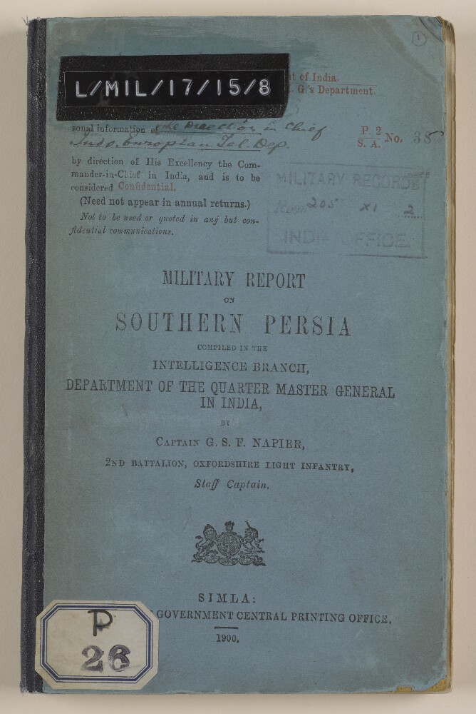
46. ‘Military Report on Southern Persia’
- Description:
- Abstract: Confidential military report compiled in the Intelligence Branch, Department of the Quarter Master General of India, by Captain George Samuel Frederick Napier, 2nd Battalion, Oxfordshire Light Infantry, Staff Captain. The report was printed in Simla at the Government Central Printing Office, 1900.The volume begins with a preface, written by Lieutenant-Colonel A Barrow, Assistant Quartermaster General, Intelligence Branch, Simla, on 12 April 1900 (folio 8).Part one of the volume comprises ten chapters (I-X) covering:geography (general description, coastline, land frontiers, mountain systems, rivers and lakes)harbourscommunications (roads, maritime, inland water, and telegraphs)climate (general description, rainfall, winds in the Persian Gulf, pathology of Southern Persia)resources (agricultural, commercial, industrial, labour, production, animals, and transport)ethnography (races and religions, and languages)history (early history, Russo-Persian wars, Anglo-Persian wars up to 1856, the Anglo-Persian War of 1856-57, the subsequent history of Southern Persia, and commercial history)administration (systems, administrative divisions, financial system, money, weights and measures)naval and military (navy, army, fighting material, and arms)political (internal and external relations, British representatives in Southern Persia, and representatives of other powers in Southern Persia)Part two of the volume comprises four appendices (A-D) covering:climate (an abstract of Fahrenheit thermometer readings)resources (bazaar prices, average rates of transport, rates of freight, pack transport rates, labour, animal and crop resources in some of Southern Persia’s principal towns and villages);ethnography (list of the principal tribes of Arabistan, and lists of tribes of other regions)a ‘gazetteer of some of the more important towns and villages of Southern Persia, on or near lines of communication’Four maps are also included in the volume’s front pocket (folios 2-5).Physical description: Foliation: the foliation sequence (used for referencing) commences at the front cover with 1, and terminates at the inside back cover with 75; these numbers are written in pencil, are circled, and are located in the top right corner of the recto side of each folio.Pagination: the file also contains an original printed pagination sequence.
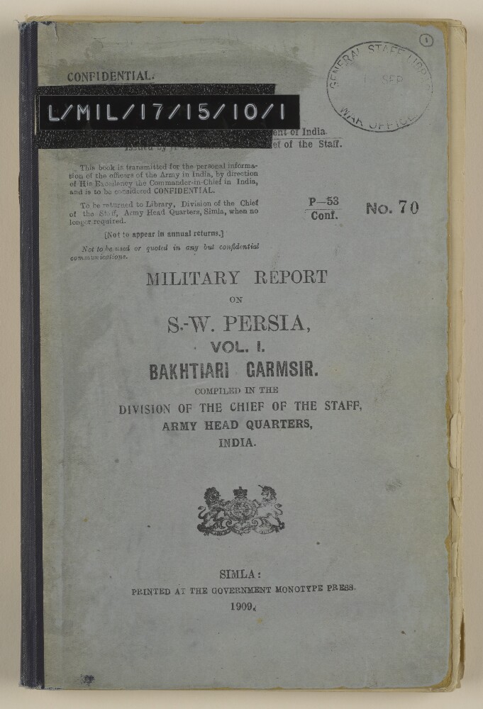
47. 'Military Report on S.-W. Persia, Vol. I. Bakhtiari Garmsir'
- Description:
- Abstract: It consists of a military report on S W Persia, specifically Bakhtiari Garmsir [Bakhtīārī], created for the personal information of the officers of the Army in India. Compiled in the Division of the Chief of the Staff, Army Head Quarters, India. Printed at the Government Monotype Press, Simla, 1909.It includes: a preface by Wilfrid Malleson, Assistant Quarter-Master General, Intelligence Branch; an account of the tribal and political aspect of the district by the British Consul for Arabistan [Khūzestān], David Lockhart Robertson Lorimer; and a note on medical matters by Dr M Y Young of the Anglo-Persian Oil Company Limited.It is divided into the following sections:general – geographical, geological, zoological, tribal, strategical, archaeological, and linguistic;military – climate, supplies, transport, communications, and medical;route reports - compiled in 1908 covering the whole area with a network of known tracks;Gazetteer notes – geographical information;appendices – including a statement of resources in the district, traffic returns, reports on the carrying capacity of steamers on the Kārūn and the tramway at Nasiri, genealogical trees, and a note on the operations of the Anglo-Persian Oil Company.Also includes one map on folio 81: 'MAP to illustrate Military Report on S.W. PERSIA'.Physical description: Foliation: the foliation sequence (used for referencing) commences at the front cover with 1, and terminates at the inside back cover with 82; these numbers are written in pencil, are circled, and are located in the top right corner of the recto side of each folio. Pagination: the file also contains an original printed pagination sequence.
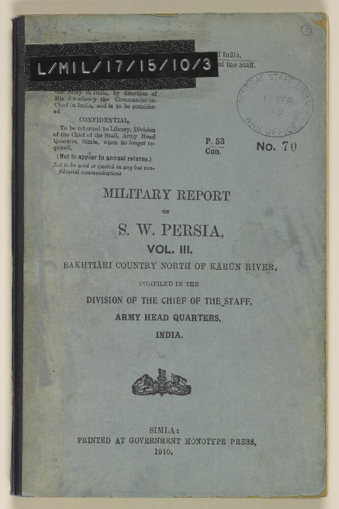
48. 'Military Report on S. W. Persia, Vol. III. Bakhtiāri Country North of Kārūn River'
- Description:
- Abstract: It consists of a military report on S W Persia, specifically Bakhtiāri Country North of Kārūn River, created for the personal information of the officers of the Army in India. Compiled in the Division of the Chief of the Staff, Army Head Quarters, India by Lieutenant A T Wilson, 32nd Sikh Pioneers. Printed at the Government Monotype Press, Simla, 1910.It includes a preface by Wilfrid Malleson, Assistant Quarter Master General, Intelligence Branch.It is divided into the following sections:geographical – boundaries, mountain ranges, rivers, lakes, and geology;general – Bakhtiāri levies, bridge constructions, and revenue;tribal – history, organisation, numbers, customs, land ownership, and taxation;communications – via various routes, condition of tracks, and construction of a cart road;climate;strategical - possibility of collision with Russia and intervention by Great Britain, comparison of routes, recommendations, and composition of force;routes – broken down into stages and incorporating comments on the road, climate, transport, fuel, supplies, water, grazing, and physical obstacles;appendices – including documents relating to the Ahwāz-Isfahān road, tables of tribal sub-divisions and strength of the Haft Lang and the Chehār Lang, and biographical notices of certain Bakhtiāri Khāns by David Lockhart Robertson Lorimer, British Consul, Ahwāz [Ahvāz].Also includes five maps:folio 65: 'SKELETON MAP OF BAKHTIĀRI COUNTRY Showing routes and chief rivers';folio 66: 'SECTION FROM 'ALWĀNĪYEH ('ARABISTĀN) TO KHARĀJĪ THE LYNCH ROAD, ROUTE NO. I. AHWĀZ TO ISFAHĀN';folio 67: 'ISFAHĀN—DEH KURD—'ALĪ KŪH—CHARĪ—BĀZUFT—CHILAU' and 'ISFAHĀN—URŪJĀN—ARDAL—GURĀB—BĀZUFT—CHILAU';folio 68: 'FARAIDAN—TANG-I-GAZĪ—GIL-I-SHĀH—BĀZUFT—CHILAU' and 'FARAIDAN—TANG-I-GAZĪ—PAMBAKĀL—BĀZUFT—CHILAU';folio 69: 'BURBARŪD—KALEH HUMA—MAKHADĪ—BĀZNAWĪ—PUL-I-SHĪRAK—PUL-I-KUL—DIZFŪL' and 'FARAIDAN—TANG-I-GAZĪ—GALA GĀO—PĪR SAIYID—BĀZNAWĪ—PUL-I-KUL—DIZFŪL'.Physical description: Foliation: the foliation sequence (used for referencing) commences at the front cover with 1, and terminates at the inside back cover with 70; these numbers are written in pencil, are circled, and are located in the top right corner of the recto side of each folio. Pagination: the file also contains an original printed pagination sequence.