« Previous |
1 - 12 of 39
|
Next »
Number of results to display per page
Search Results
1. 'Papers relating to Seas, Rivers and Countries connected with Steam Navigation in Asia'
- Description:
- Abstract: Volume containing journals and other descriptions of journeys in and around the Arabian Peninsula and India, particularly sea and river journeys. The volume contains:‘Captain Wainwright's Remarks on the Navigation of the Persian Gulph 1809-1810’ (folios 3-28), containing a description of the navigation of the Gulf and the ports, anchorages and other notable places along its coastline, written by Captain John Wainwright of the East India Company ship Chiffonne‘Captain Sadlier's Diary of his Mission to Arabia 1819-20’ (folios 29-192), containing a description of an expedition across Arabia by Captain George Forster Sadlier to deliver a confidential message from the Government of Bombay to Ibrahim Pacha, commander of the Egyptian forces in the Wahhabi War (also known as the Ottoman-Saudi War). The message to Ibrahim, offering military support to future Ottoman actions against the Wahabees [Saudis] and Joasmee [Al-Qasimi], is included on folios 37-40. A letter containing instructions to Sadlier is on folios 33-37. Folios 40-61 describe Sadlier’s journey from Bombay [Mumbai] to Bushire, April-June 1819, calling at Muscat in May to inform the Imam of his mission. Sadlier’s journey from Kuteef [Qatif, also written as Katief and Katuffe] to Yambo [Yanbu] is described in brief on folios 29-33. The same journey, Sadlier’s interactions with Ibrahim, and his return journey as far as Jeddah are described in detail on folios 61-190‘Captain Bedford's Journals of the Survey of the Burrampooter River - 1824 & 1825’ (folios 193-304), containing a description by Captain James Bedford of a survey of the Burhampooter [Brahmaputra] River, also called the Dihung [Dihang] River. A small sketch map of part of the river is included on folio 260. Folios 303-304 contain a brief vocabulary of the Mismee [Mishmi] language‘Captain Bonamy's Memoranda on the North West Frontier of British India and of the importance of the River Indus as connected with it's [sic] defence 1830’ (folios 305-383), containing a description of the area and notes on the defence of British India against a theoretical invasion by Russia‘Lieutenant Welsted's Memoir regarding the Red Sea and Steam Navigation between Europe & India 1832’ (folios 384-497), containing a description of the navigation of the Red Sea and the ports, anchorages and other notable places along the coastline, written by Lieutenant James Raymond Wellsted [written as Welsted or Welstead] of the East India Company ship Palinurus, as part of a survey under the command of Captain Thomas Elwon of the East India Company ship Benares. A description of the ‘inhabitants to the Northward of Juddah’ [Jeddah] is included on folios 460-473‘Lieutenant Wybard's Journal of an Excursion into Arabia 1832’ (folios 497-534), containing a description of a journey into Arabia by Lieutenant J W Wybard in September-December 1832. Folios 499-509 contain Wybard’s journal describing his journey from Bushire to Bussora [Basra] on the East India Company ship William IV, from Bussora to Bahrein [Bahrain] and then to Ajeer [Uqair] on various Arabian vessels, overland from Ajeer to Ehiasa [Hofuf], and an aborted attempt to reach Readth [Riyadh] before returning by the same route. Folios 509-513 contain descriptions of Ehiasa and Bahrein. Folios 517-532 contain a description of ‘the Arab Tribes on the Banks of the Euphrates and Tigris’. Folios 533-534 contain ‘A Map of the Oases of El Hasa’ [El Ahsa] [IOR/L/MAR/C/587, ff 533v-534].Physical description: Foliation: the foliation sequence (used for referencing) commences at the first folio with 1 and terminates at the inside back cover with 538; these numbers are written in pencil, are circled, and are located in the top right corner of the recto side of each folio.An additional foliation sequence is present in parallel between ff 193-534; these numbers are also written in pencil, but are not circled.The foliation sequence does not include the front cover, nor does it include the leading flyleaves.

2. ‘Persian Gulf. Bahrein. Visit of the special Agent from the Sheik of steps taken to levy a fine on certain places on the Gutter Coast – Vol: 7’
- Description:
- Abstract: This item consists of copies of correspondence, consultations, and minutes cited in, or enclosed with, a political letter from the Government of Bombay, which appears in IOR/F/4/2445/134344. The main correspondents are: the Government of Bombay; Lieutenant-Colonel Samuel Hennell, Political Agent in the Persian Gulf; Commander John Porter, Senior Naval Officer in the Persian Gulf; and Lieutenant Frederick Erskine Manners, commanding the East India Company brigantine Tigris. It is the seventh in a series of twenty-one items on events in the Persian Gulf.The item concerns:The movement of people from Wukrah [Al Wakrah] and Fowarit [Fuwairit] to Bahrein [Bahrain] and El Biddah [al-Bid’] on the orders of Mahomed bin Khuleefa [Shaikh Muḥammad bin Khalīfah Āl Khalīfah of Bahrain]Mahomed bin Khuleefa’s decision to pay the fine the British were imposing on Doah [Doha], Wukrah, and Fowarit because of the ‘piracy’ of Soheil bin Ateish [Suhayl bin ‘Uṭaysh]Plans to seize Soheil bin AteishVisits of British ships to the Guttur [Qatar] Coast and El Adeed [Khawr al ‘Udayd]British surveys of the harbour of El Biddah and the shoals outsideThe movements of Ameer Fysul [Amīr Fayṣal bin Turkī bin ‘Abdullāh Āl Sa‘ūd, ruler of the Second Saudi State].The item contains a contents page and the title page of the item contains the following references: ‘Draft N 34 – 1852’, and ‘Collection No 32’.Physical description: Foliation: the foliation sequence (used for referencing) commences at the first folio with f 176, and terminates at f 197, as it is part of a larger physical volume; these numbers are written in pencil, are circled, and are located in the bottom right corner of the recto side of each folio.Pagination: the item also contains an original pagination sequence.
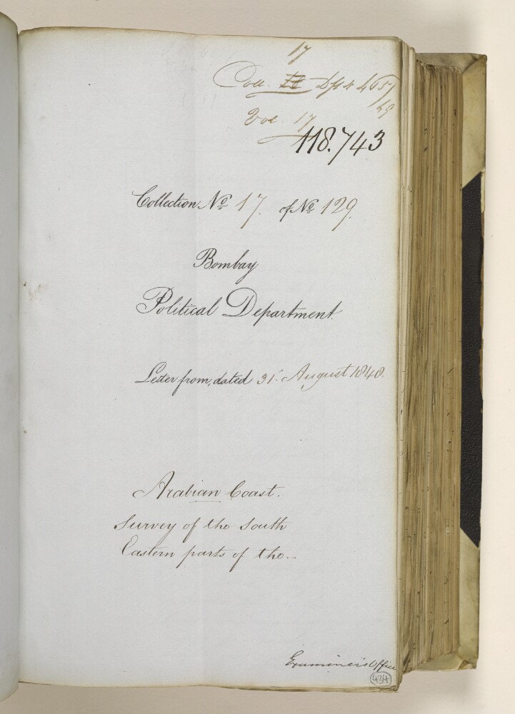
3. ‘Arabian Coast. Survey of the South Eastern parts of the – Vol: 17’
- Description:
- Abstract: This item consists of copies of correspondence, minutes, resolutions, memoranda, and consultations cited in, or enclosed with, political letters from the Government of Bombay. These political letters appear in IOR/F/4/2302/118727. The main correspondents are: the Government of Bombay; Syud Thooenee [Sayyid Thuwaynī bin Sa‘īd Āl Bū Sa‘īd], Governor of Muscat; and Mahomed bin Alli [Muḥammad bin ‘Alī al-Jaylānī], Chief of the Beni boo Alli [Banū Bū ‘Alī]. It is the seventeenth in a series of fifty-one items on the Persian Gulf.The item concerns arrangements for the surveying expedition of the Palinurusto the south-east parts of the Arabian Coast, including letters of recommendation from Syud Thooenee and presents for local leaders who rendered assistance to the expedition.The item contains a contents page and the title page of the item contains the following references: ‘Collection No 17 of No 129’, ‘Coll[ection]: 17’ and ‘Draft no 465 of 49’.Physical description: Foliation: the foliation sequence (used for referencing) commences at the first folio with f 434, and terminates at f 465, as it is part of a larger physical volume; these numbers are written in pencil, are circled, and are located in the bottom right corner of the recto side of each folio.Pagination: the item also contains an original pagination sequence.
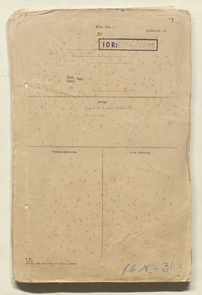
4. 'File 3/13 Visit of HMS Ormonde to Bahrain'
- Description:
- Abstract: Correspondence concerning the visit of HMS Ormondeto Bahrain to conduct surveys of Bahrain, Yas Island and Muharraq; the survey party consisted of two officers and eleven ratings and was engaged in surveying work on a number of visits. Includes notice in Arabic with English translation, signed by Charles Dalrymple Belgrave, Adviser, Bahrain Government, warning the public not to interfere with the flags and beacons placed by the survey party. Correspondence also discusses the survey of Yas Island with a request to the Shaikh of Abu Dhabi to allow facilities.Correspondents include HMS Ormonde; Political Agent, Bahrain; Mesopotamia Persia Corporation Ltd, Bahrain; Political Resident Persian Gulf; Senior Naval Officer Persian Gulf; Ali Bin Hussein Khalfan, Secretary, Manama Municipality; Director of Customs and Port Officer, Bahrain; Charles Belgrave, Adviser, Bahrain Government; Residency Agent, Sharjah.Physical description: Foliation. The foliation system in use is the sequence of numbers in pencil in the top right hand corner of each folio. There file also bears a printed foliation system.
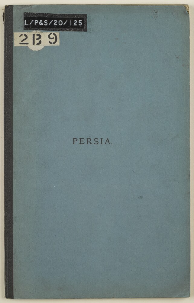
5. ‘Persia.’
- Description:
- Abstract: Paper No.7 written by Colonel Augustus Le Messurier of the Bombay Engineers, being a diary of a journey through Persia [Iran] from Rasht to Bushire, undertaken between 24 October and 9 December 1887. The volume was published in Calcutta [Kolkota] in 1888, in Government of India Quarter Master General's Department.At the front of the volume (f 4) is a list of illustrations and tables numbered 7A-7Z, and two further items numbered 25-26. Items 7A-7E are a map, section plans, route table and equipment list, which are included in the volume (ff 16-20). Items 7F-7Z refer to photographs taken by Antoin Sevruguin, included in a separate album published by Le Messurier (Photo 198). Items 25 and 26 are drawings, included at the end of the album of Sevruguin’s photographs.Physical description: Foliation: the foliation sequence (used for referencing) commences at the front cover with 1, and terminates at the inside back cover with 22; these numbers are written in pencil, are circled, and are located in the top right corner of the recto side of each folio.Pagination: the file also contains an original printed pagination sequence.
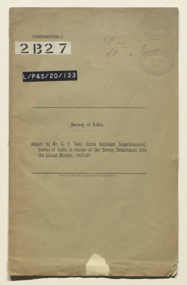
6. 'Report by Mr G P Tate, Extra Assistant Superintendent, Survey of India, in charge of the survey detachment with the Seistan mission, 1903-05.'
- Description:
- Abstract: This file contains a report by Mr George Passman Tate, the Extra Assistant Superintendent for the Survey of India, about the Seistan [Sistan] Mission. Tate details the ways in which the fieldwork was undertaken, and difficulties that were encountered. He also provides notes on communications (roads, fords and ferries) in Sistan. On folio 10, Tate outlines technical terms which are particular to Sistan and used in surveys carried out there. Between folios 11-12, there is a list of latitudes, longitudes, and heights of trigonometrical stations and points in Sistan.Physical description: Foliation: the foliation sequence for this description commences at the front cover with 1, and terminates at the inside back cover with 8; these numbers are written in pencil, are circled, and are located in the top right corner of the recto side of each folio.Pagination: the volume also contains an original printed pagination sequence.
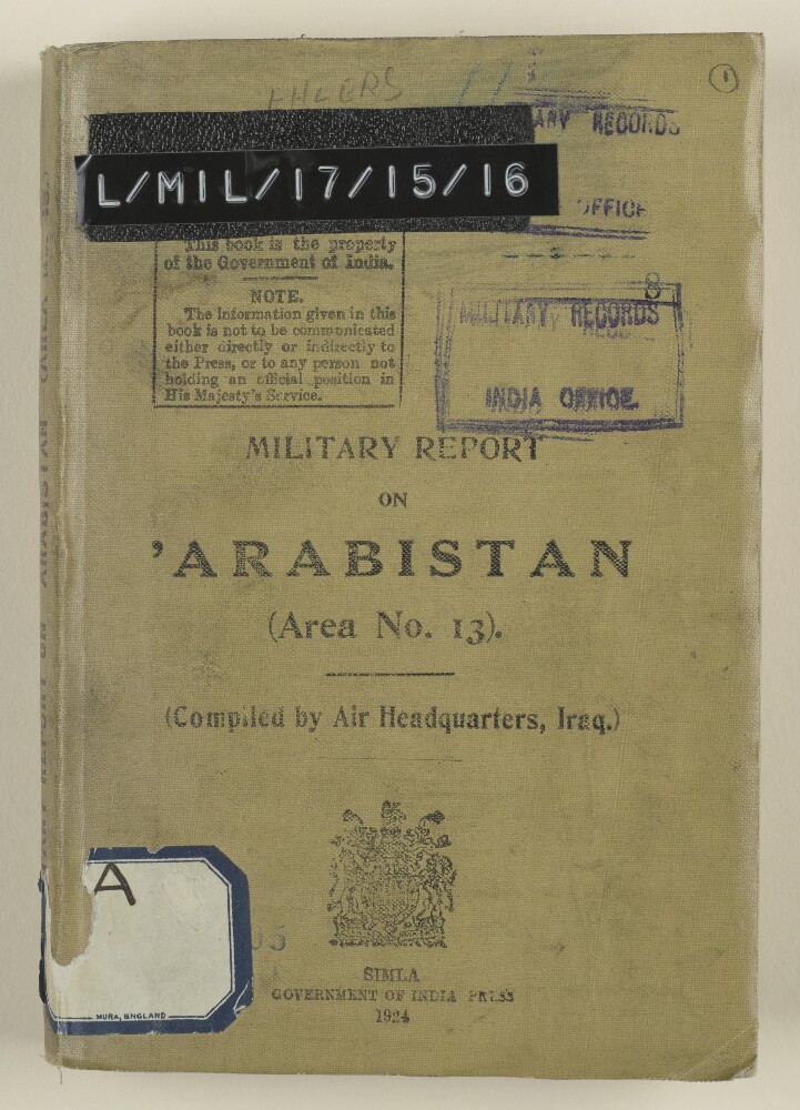
7. ‘Military Report on ’Arabistan (Area No. 13).’
- Description:
- Abstract: Confidential military report on Arabistan [Khūzestān] compiled by Air Headquarters, Iraq, and printed by the Government of India Press, 1924.The report contains nine chapters (numbered I-IX) and seven appendices (A-G) as follows:chapter I – history (general, ancient, modern, political attitude);II – geography (boundaries, area, general description, altitude, mountains, rivers and fords, towns and villages, tracts of land, islands, fortified places, political divisions);III – climate (general, temperature, winds, rainfall, mirages, general medical and sanitary conditions, principal diseases, conditions affecting aviation and military operations);IV – economic resources (general, labour, agriculture, livestock, manufacture, power, commerce, customs, banking, revenue, tables of imports and exports);V – ethnography (general, population, races, religions, languages);VI – tribes (general, armed forces, tribes in relation to possible centres of disturbance, political attitudes, military considerations, tribal action, punitive measures, recapitulation, lists of tribes);VII – personalities;VIII – communications (general, communications by sea, inland waterways, railways, telegraphs and telephones, post, aerodromes and possible aerodromes, wireless and visual communication, principal routes by land, sea and river);IX – administration (general, government establishments, northern province, southern province);appendix A – bibliographical notes;B – weights and measures, coinage and time;C – glossary of topographical terms;D – Karun river [Rūd-e Kārūn] regulations;E – concession granted to the “Nasiri Company”;F – customs schedule;G – Anglo-Persian Oil Company.The volume contains a single map in a pocket attached to the inside back cover (folio 180).Physical description: Foliation: the foliation sequence (used for referencing) commences at the front cover with 1, and terminates at the inside back cover with 181; these numbers are written in pencil, are circled, and are located in the top right corner of the recto side of each folio.Pagination: the file also contains an original printed pagination sequence.
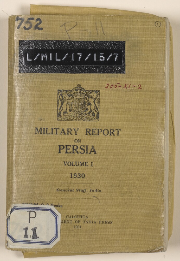
8. ‘Military report on Persia Volume I 1930’
- Description:
- Abstract: Military report on the Khurasan [Khurāsān] and Seistan [Sīstān] regions of Persia [Iran], with maps and illustrations. Produced by the General Staff, India, and published in Calcutta [Kolkata] by the Government of India Press, 1931. Marked for official use only.The report includes chapters on:a history of Khurasan and Seistanthe geography of Khurasan and Seistan (mountains, rivers, deserts, an alphabetical listing of towns) and climate (including assessments of the health risks associated with both regions)population (religion, tribes)resources (including crops, grazing, fuel, transport, and a note on horses and mules in Khurasan)armed forces (including a description of the Eastern Division of the Persian military, an Order of Battle, organisation, armaments, equipment, clothing, rations, training)aviation (detailing the organisation, personnel, equipment, aerodromes, etc., of the Persian Air Force)administration (municipal, police, justice, department of public instruction, revenue, roads and communications, census, post and telegraphs, sanitation)communications (railways, roads, types of motor transport in use, principal routes used by travellers from Meshed [Mashad] to Russian territory, telegraphs, telephones, wireless)An appendix includes a veterinary note on conditions in Khurasan and Seistan. The volume also includes four colour plates illustrating different badges associated with Persian army and police officers, and a number of maps and diagrammatic maps.Physical description: Foliation: the foliation sequence (used for referencing) commences at the front cover with 1, and terminates at the inside back cover with 75; these numbers are written in pencil, are circled, and are located in the top right corner of the recto side of each folio.Pagination: the file also contains an original printed pagination sequence.
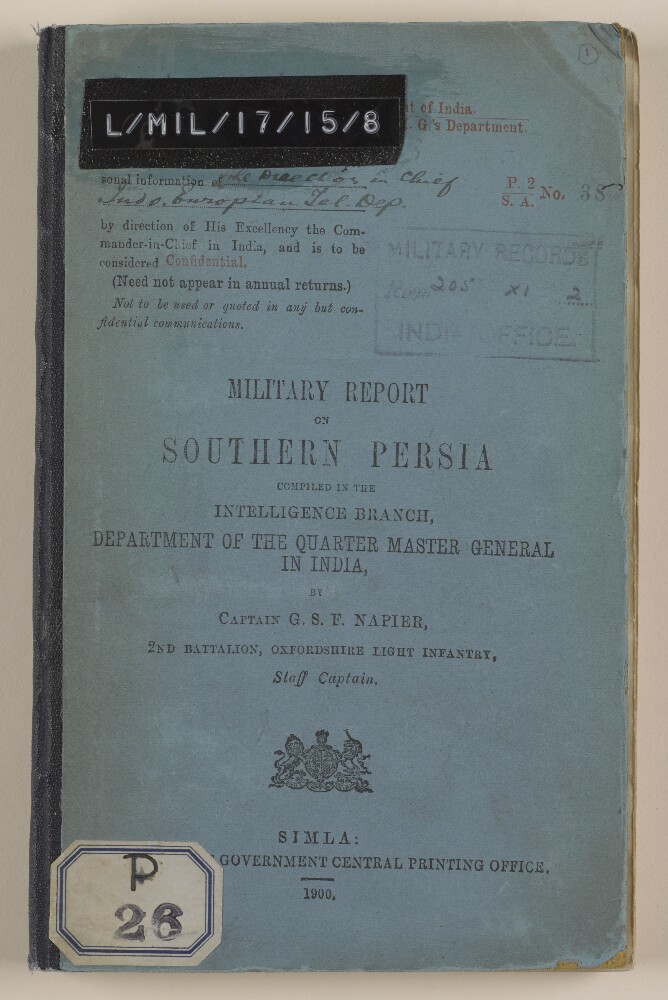
9. ‘Military Report on Southern Persia’
- Description:
- Abstract: Confidential military report compiled in the Intelligence Branch, Department of the Quarter Master General of India, by Captain George Samuel Frederick Napier, 2nd Battalion, Oxfordshire Light Infantry, Staff Captain. The report was printed in Simla at the Government Central Printing Office, 1900.The volume begins with a preface, written by Lieutenant-Colonel A Barrow, Assistant Quartermaster General, Intelligence Branch, Simla, on 12 April 1900 (folio 8).Part one of the volume comprises ten chapters (I-X) covering:geography (general description, coastline, land frontiers, mountain systems, rivers and lakes)harbourscommunications (roads, maritime, inland water, and telegraphs)climate (general description, rainfall, winds in the Persian Gulf, pathology of Southern Persia)resources (agricultural, commercial, industrial, labour, production, animals, and transport)ethnography (races and religions, and languages)history (early history, Russo-Persian wars, Anglo-Persian wars up to 1856, the Anglo-Persian War of 1856-57, the subsequent history of Southern Persia, and commercial history)administration (systems, administrative divisions, financial system, money, weights and measures)naval and military (navy, army, fighting material, and arms)political (internal and external relations, British representatives in Southern Persia, and representatives of other powers in Southern Persia)Part two of the volume comprises four appendices (A-D) covering:climate (an abstract of Fahrenheit thermometer readings)resources (bazaar prices, average rates of transport, rates of freight, pack transport rates, labour, animal and crop resources in some of Southern Persia’s principal towns and villages);ethnography (list of the principal tribes of Arabistan, and lists of tribes of other regions)a ‘gazetteer of some of the more important towns and villages of Southern Persia, on or near lines of communication’Four maps are also included in the volume’s front pocket (folios 2-5).Physical description: Foliation: the foliation sequence (used for referencing) commences at the front cover with 1, and terminates at the inside back cover with 75; these numbers are written in pencil, are circled, and are located in the top right corner of the recto side of each folio.Pagination: the file also contains an original printed pagination sequence.
10. ‘Military report on south-west Persia, including the provinces of Khúzistán (Arabistan), Luristán and part of Fars.’
- Description:
- Abstract: Report marked strictly confidential, prepared in the Intelligence Branch of the Quarter Master General’s Department in India, by the Assistant Quarter Master General, Major and Brevet Lieutenant-Colonel Mark Sever Bell, Royal Engineers. The volume was published by the Government Central Branch Press, Simla, 1885.The contents of the volume are as follows:part I, a narrative description of a journey from India to Muhammerah [Khorramshahr], through to the Luristán [Lorestān] hills, to Kúm [Qom]; from Kúm to Gulpaigán [Golpāyegān ], Chaman-i-Sultán [Chaman Solţān], Ali-Gúdar [Alīgūdarz], Imámzádá-Ishmail [Emāmzādeh Esmā‘īl], and the Zaindarúd River [Zāyandeh Rūd] to Isfahán; from Isfahán through the Kúhgehlú [Kohgīlūyeh] hills to Behbahán and Bandar-Dilám [Bandar-e Deylam]; from Bandar-Dilám to Bushirepart II, a detailed account of southwest Persia, compiled from Sever’s own observations and other available sourcespart III, commercial considerations. A further section in this chapter on strategic observations, which is mentioned on the contents page and marked as secret, is not present in the volumepart IV, detailed road reportsappendix A, road reports, Isfahan to Shústar [Shūshtar], Shústar to Shíráz [Shīrāz], compiled in 1881 by Captain Henry Lake Wells, Assistant Director of Persian Telegraphs, with additional annotations by Bellappendix B, a list of plant specimens collected in Luristán during April and May 1884appendix C, extracts of a paper on the geology of the Turko-Persian frontier, written by William Kennett Loftus, June 1854appendix D, meteorological observations at Bushire, from 20 March to 20 June 1885The volume includes eight maps, two photographic plates, and illustrations throughout (topographical, architectural, anthropological). The two photographic plates and some of the maps are of an earlier date than the volume’s publication date of 1885.Physical description: Foliation: the foliation sequence (used for referencing) commences at the front cover with 1, and terminates at the inside back cover with 233; these numbers are written in pencil, are circled, and are located in the top right corner of the recto side of each folio.Pagination: the file also contains an original printed pagination sequence.
11. ‘Military report on the British Protectorate of Aden and the Amir of Dala’s territories, with special reports on certain other tribes and adjoining border districts’
- Description:
- Abstract: The volume, a military report compiled in the Intelligence Branch of the QMG’s [Quartermaster General’s] Department and published at the Government Central Printing Office, Simla, is comprised of several sections, as follows:section I, a Military Report on the British Protectorate of Aden, prepared by Captain Ernest Arthur Frederick Redl (ff 10-52), and including chapters on: geography; ethnography, with details of the different tribes living in the Protectorate; climate and health; natural resources; harbours and anchorages; communications; fortresses; history; native inhabitants’ administration; the military organisation and strength of native inhabitants; and political relations. A handwritten note is included in the report (f 49), and concerns the entitlements of Protectorate Chiefs to salutes, and issue to them of arms and ammunition, 1906;section II, a Report on the Amir of Dala’s [Ad Dali’] Territories, prepared by Major J K Tod (ff 54-118), and including chapters on: geography; ethnography; climate and health; resources; communications; forts and fortified posts; history; administration, and military. Following the report is a gazetteer providing greater detail of the sixteen districts in Dala, including: topography; ruling families and allegiances; villages and population figures, including numbers of fighting men; water resources; agricultural and industrial activities;section III, Reports on Haushabi, Subehi and Yafa’i Tribes, Turkish and North Western Border Districts and the River Tiban, divided into chapters, all prepared by Captain Redl unless otherwise specified, on: 1) the Haushabi [al-Ḥawshabī] (ff 120-130), and including a handwritten note, dated December 1905 (f 122), noting that the Sultan of Haushabi has agreed to abide by an agreement of 1895; 2) the Subehi tribes near the Turkish border (ff 130-144); 3) the districts of Turkish Yemen adjoining the British boundary (ff 144-165); 4) Tribes of the north-west frontier (ff 165-172); 5) a memorandum of the Yafa’i [Yāfi‘] tribe, prepared by Captain Gonville W Warneford (ff 172-183); 6) The Wadi Tiban (ff 184-185);section IV, Routes(ff 186-228), detailing numerous routes between key points in Aden province, noting: distances; stages; nature of the terrain and its suitability for different modes of transport; available resources en route; territories crossed. A (duplicated) confidential memorandum, written by Captain G A F Sanders of the Aden Brigade, dated 24 August 1905, containing additional information for stages 5 and 6 of route 5 has been added to the volume (ff 195-198);appendix I, a brief statement on inland trade between Aden and the Arabian mainland, 1903 (ff 229-230).The volume is extensively illustrated throughout with fold-out maps, plans and illustrations, prepared by the Intelligence Branch (I.B.) and all of which describe the topography and terrain of the region. There are three maps included in a pocket at the end of the volume: a map of the Aden Protectorate (f 242); a view from the ruined village of Lakmat Magharam about one-and-a-half miles west of Sanah [Ṣanʻā'] (f 240); and a road sketch from Khalla through Awabil [‘Awābil] to the upper plateau of the Rubiatein [Ar Rubay‘atayn] tribe (f 241).Physical description: Foliation: the main foliation sequence (used for referencing) commences at the front cover with 1 and terminates at the back cover with 243; these numbers are written in pencil, are circled, and are located in the top right corner of the recto side of each folio.Pagination: the file contains an original printed pagination sequence.
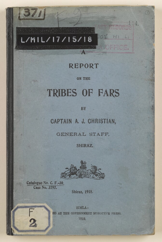
12. ‘A Report on the Tribes of Fars’
- Description:
- Abstract: Confidential report on the tribes of the Fars region of Persia [Iran], produced by Captain A J Christian of the General Staff, Shiraz, 1918. The report was printed at the Government Monotype Press, Simla [Shimla], 1919.The report covers a number of tribal groupings: the Khamseh, Qashgai [Qashqai], Mamassani, Lashani, Mishmast, Boir Ahmadi, and Dushmanziari [Doshman Zīārī]. Aspects covered include: origins and history of tribes; organisation; assessments of their general character; habitat; strength and fighting strength (expressed as numbers of men); arms and ammunition; language; revenue; subtribes. The bulk of the report is given over the Qashgai tribe, with detailed descriptions of its subtribes, and seven appendices (labelled A to G) as follows:appendix A – a genealogical table of the Qashgai Ilkhanis;B – notes on some of the Qashgai Khans;C – weights, measures, coinage used by the Qashgai;D – archaeological remains associated with the Qashgai;E – mineralogical deposits in areas associated with the Qashgai;F – agriculture of the Qashgai;G – the Amaleh.The report finishes with a list of smaller tribes, giving details of their leader, number of families, and habitat. The volume contains a single map of the Fars district, with areas occupied by some of the tribes indicated (folio 90).Physical description: Foliation: the foliation sequence (used for referencing) commences at the front cover with 1, and terminates at the inside back cover with 91; these numbers are written in pencil, are circled, and are located in the top right corner of the recto side of each folio.Pagination: the file also contains an original printed pagination sequence.
- « Previous
- Next »
- 1 Current Page, Page 1
- 2
- 3
- 4