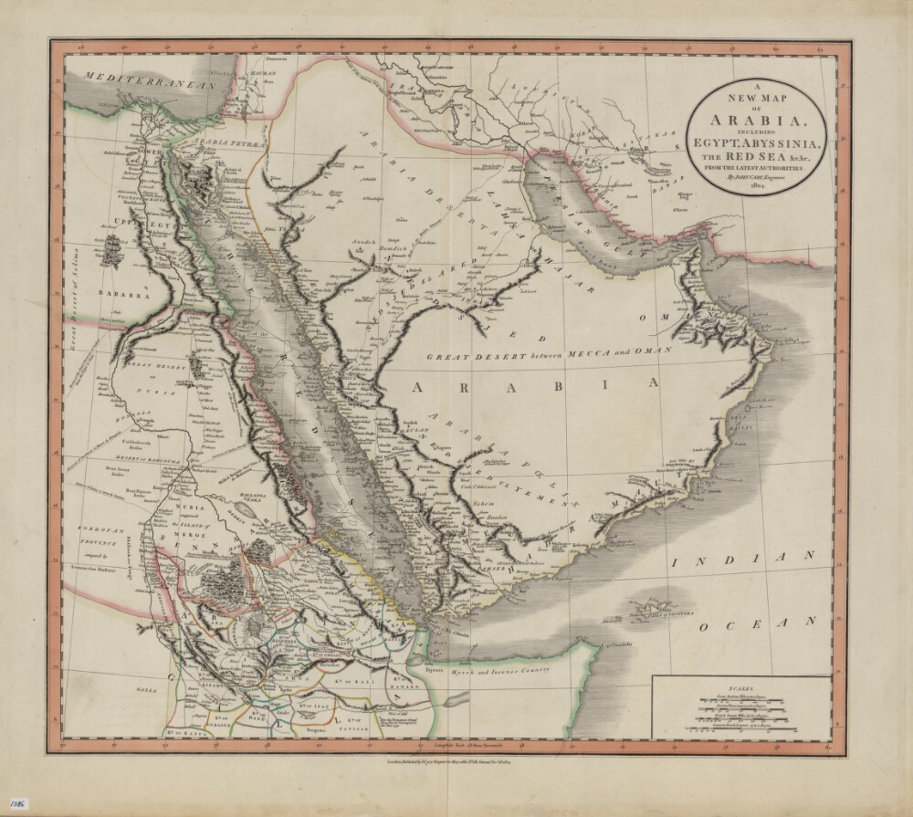
1. A New Map of Arabia, Including Egypt, Abyssinia, the Red Sea, from the Latest Authorities Date: 1804 Language: English Geographic region: لندن.الإمارات العربية المتحدةالسودانالبحريناليمنالعراقالمملكة العربية السعوديةإريتريا
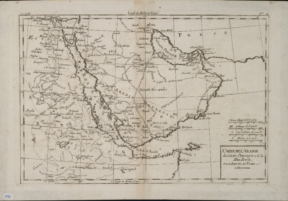
2. Map of Arabia, the Persian Gulf, and the Red Sea; Including Egypt, Nubia, and Abyssinia Date: 1780 Language: French Geographic region: المملكة العربية السعوديةإريترياإثيوبياالإمارات العربية المتحدةالسودانقطرالبحرينالكويت
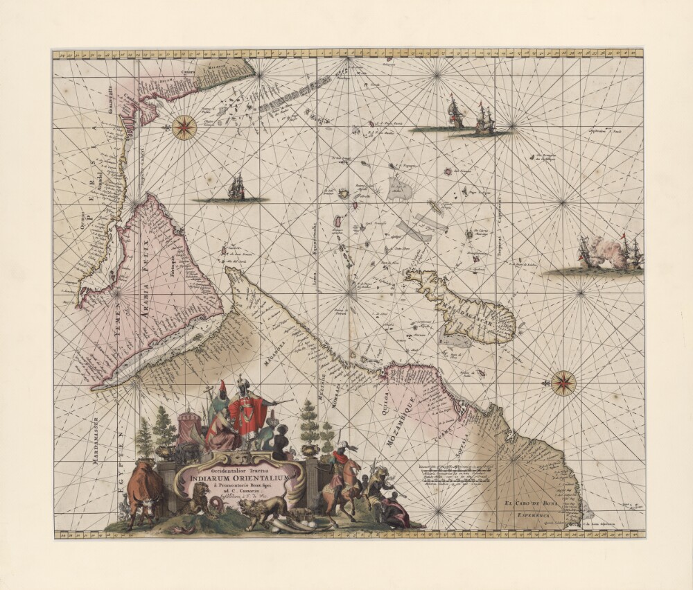
3. A Drawing (with a Western Perspective) of the East Indies from the Promontory of Good Hope to Cape Comorin Date: 1675 Language: Latin Geographic region: ملاويالمملكة العربية السعوديةإريتريامدغشقرالإمارات العربية المتحدةموزمبيققطرجنوب أفريقيا
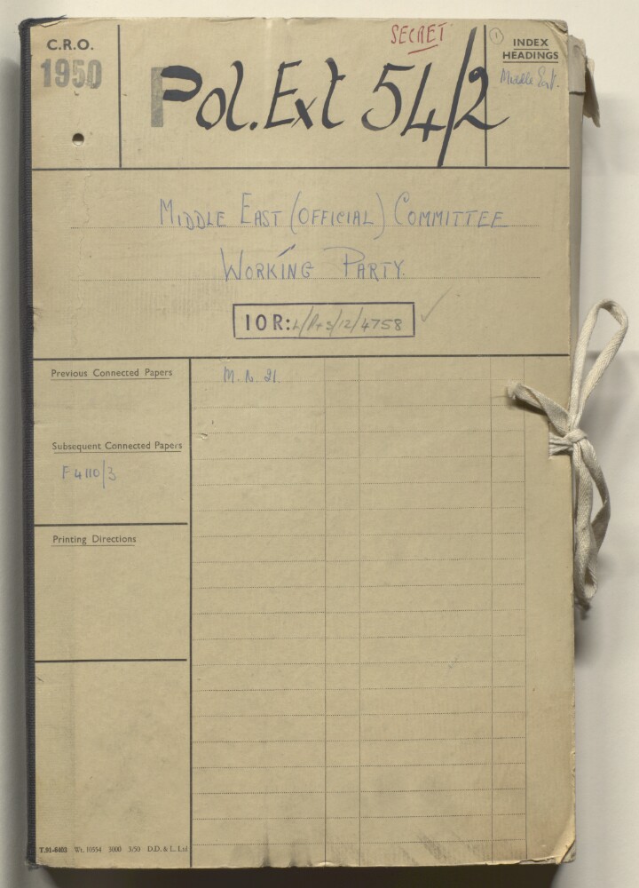
4. Coll 54/2 'Middle East (Official) Committee: Working Party' Date: 1949/1950 Language: English Geographic region: تريبوليتاناإريترياالسودانإثيوبياالعراقالبحرينبلاد فارسالمملكة العربية السعودية