1. File 1356/1912 Pt 2 'Turco-Persian Frontier:- negotiations at Constantinople. (Mohammerah Boundary)' Creator: Author: Alwyn Parker Date: 1912/1913 Language: English Geographic region: TurkeyPersiaMohammerah
2. '"Situation in Middle East" (Note by Major Bray, Political Intelligence Officer, attached to India Office)' Creator: Author: Norman Napier Evelyn Bray Date: 1920/1920 Language: English Geographic region: PersiaTurkeyMesopotamia
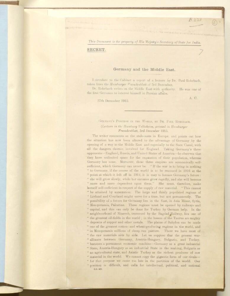
3. 'Germany and the Middle East' Creator: Author: Secretary of State for India, United Kingdom Date: 1915/1915 Language: English Geographic region: GermanySuez CanalTurkeyMiddle East
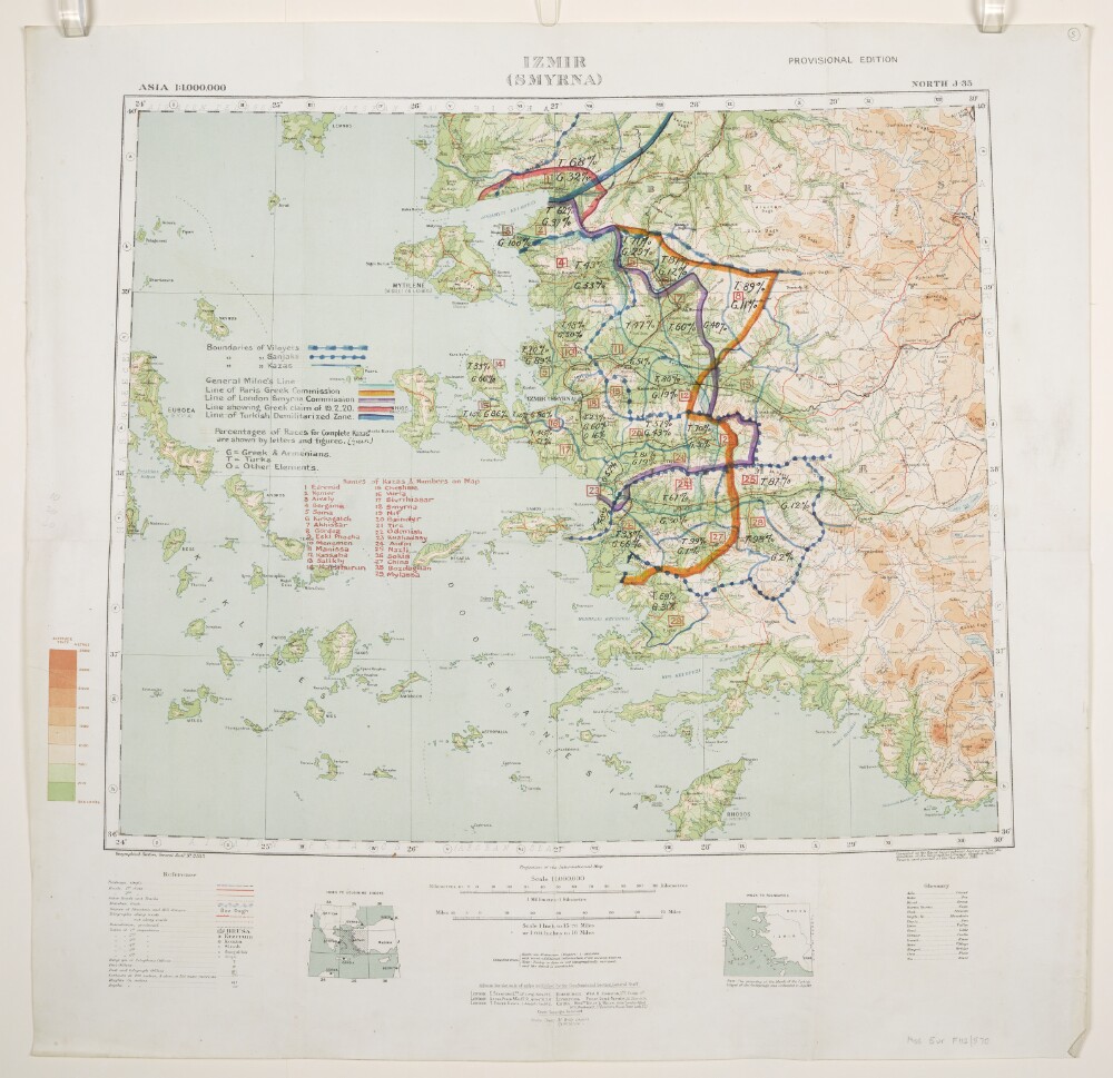
4. 'Izmir (Smyrna)'. With boundaries added in manuscript Creator: Cartographer: Royal Geographical Society Date: 1916/1920 Language: English Geographic region: TurkeyIzmir
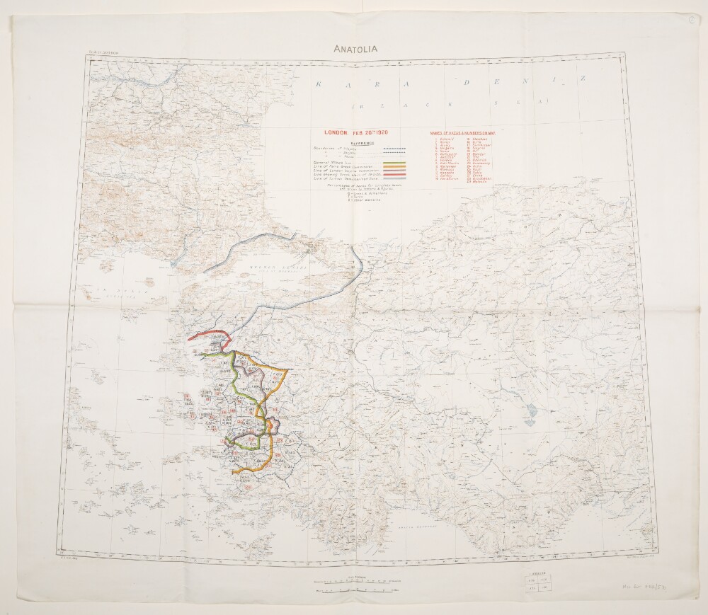
5. 'Anatolia'. With boundaries added to 20 February 1920 Date: 1919/1920 Language: English Geographic region: TurkeyZone of the Straits
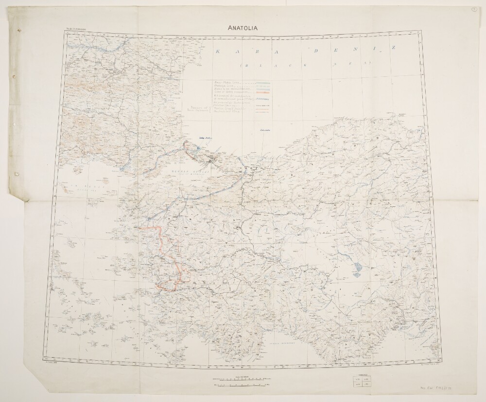
6. 'Anatolia'. With boundaries and proposed boundaries added to 30 March 1920 Date: 1919/1920 Language: English Geographic region: AnatoliaTurkeyZone of the Straits
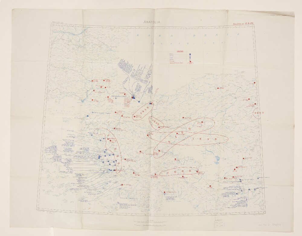
7. 'Anatolia. Situation on 17.5.20.' Date: 1919/1920 Language: English Geographic region: AnatoliaTurkey
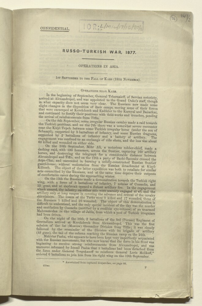
8. ‘Russo-Turkish War, 1877. Operations in Asia.’ Creator: Author: Royal Engineers Date: 1877/1877 Language: English Geographic region: KarsTurkey
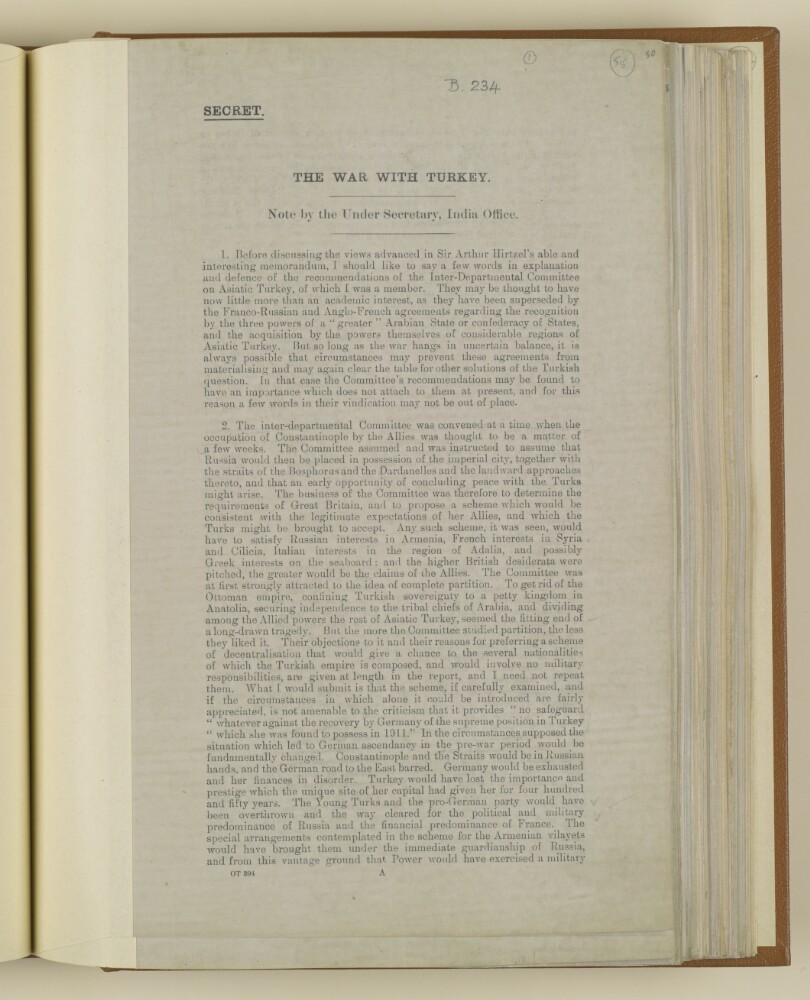
9. 'THE WAR WITH TURKEY. Note by the Under Secretary, India Office.' Creator: Author: Permanent Under-Secretary of State for India Date: 1916/1916 Language: English Geographic region: TurkeyOttoman Empire
10. 'THE WAR WITH TURKEY. Memorandum by Political Department, India Office.' Creator: Author: India Office, Secretary to the Political and Secret Department Date: 1916/1916 Language: English Geographic region: GermanySuez CanalTurkeyOttoman Empire
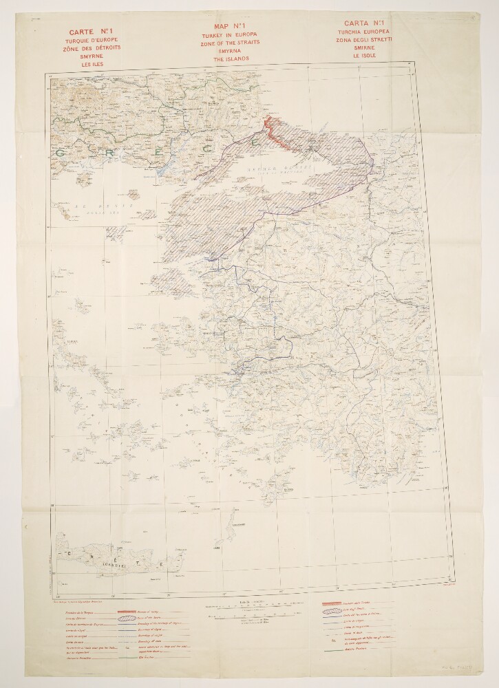
11. 'Map No. 1. Turkey in Europa. Zone of the Straits, Smyrna, the [Aegean] Islands' Date: 1919/1920 Language: English Geographic region: Zone of the Straits
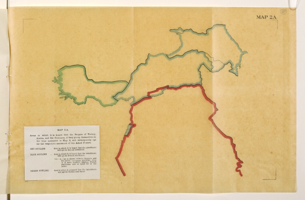
12. 'Map 2A. Areas in which it is hoped that the Peoples of Turkey, Arabia, and the Caucasus, if they group themselves on the lines indicated in Map 2, will subsequently opt for the respective assistance of the Allied Powers.' Creator: Cartographer: Edward Stanford and Co Date: 1918/1918 Language: English Geographic region: TurkeyAsia MinorMesopotamia